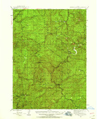
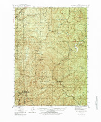
1946 Map of Dutchman Butte
USGS Topo · Published 1958About this map
Dutchman Butte Lookout and Ninemile Mtn Lookout stand as prominent fire-observation points overlooking a complex network of ridges and river drainages in the Siskiyou National Forest. This 1946 survey details the rugged territory where Douglas, Curry, and Josephine counties meet, defined by deep canyons carved by the Middle Fork Coquille River and Cow Creek. Strategic management of this timber-rich landscape is evident through the presence of the Bradford Warden Sta and Middle Creek Warden Sta. In the southeast, the Pacific Railroad tracks navigate the difficult terrain near the small settlements of Langdon and Brandt. The map captures a transitional era of forestry, where remote prairies like Horse Prairie and Jackass Prairie provided rare openings in the dense canopy of Chipmunk Ridge and Boulder Ridge.
Find a feature on this map
56 named features on this map. Tap any name to fly to it.
Don’t see what you’re looking for? This feature index may not catch every label — zoom into the map to look around manually.
Map Details
Editions of this 1946 Dutchman Butte Map
6 editions found
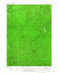
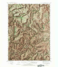
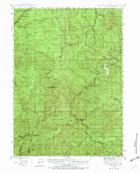
Other maps of this area

1897 · Roseburg
USGS Topo · 1:125,000

1900 · Roseburg
USGS Topo · 1:125,000

1904 · Riddle
USGS Topo · 1:125,000

1928 · Sitkum
USGS Topo · 1:125,000

1946 · Galice
USGS Topo · 1:62,500

1946 · Dutchman Butte
USGS Topo · 1:62,500

1948 · Galice
USGS Topo · 1:62,500

1948 · Dutchman Butte
USGS Topo · 1:62,500

1954 · Bone Mountain
USGS Topo · 1:62,500

1954 · Marial
USGS Topo · 1:62,500