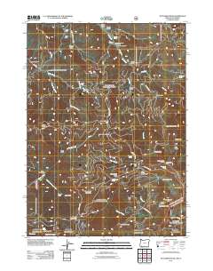
2011 Map of Dutchman Peak
USGS Topo · Published 2011About this map
Dutchman Peak and its namesake lookout command this high-elevation landscape within the Rogue River National Forest. The map documents a complex network of forest development roads, including the Ashland Loop Rd and Siskiyou Summit Rd, which provide access to remote resource sites and recreation areas. Human activity in these mountains is evidenced by the Grubstake Mine near Maple Dell Gap and the established Beaver Ranch along the waters of Beaver Creek.
Find a feature on this map
62 named features on this map. Tap any name to fly to it.
Don’t see what you’re looking for? This feature index may not catch every label — zoom into the map to look around manually.
Map Details
Editions of this 2011 Dutchman Peak Map
This is the sole edition of this map. No revisions or reprints were ever made.
Other maps of this area

1886 · Shasta
USGS Topo · 1:250,000

1891 · Ashland
USGS Topo · 1:250,000

1893 · Ashland
USGS Topo · 1:250,000

1894 · Shasta
USGS Topo · 1:250,000

1897 · Ashland
USGS Topo · 1:250,000

1908 · Grants Pass
USGS Topo · 1:125,000

1914 · Seiad
USGS Topo · 1:125,000

1922 · Seiad
USGS Topo · 1:125,000

1932 · Yreka
USGS Topo · 1:96,000

1938 · Medford
USGS Topo · 1:125,000