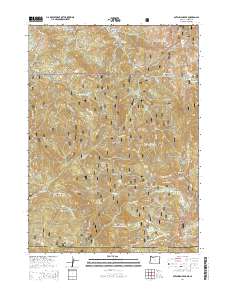
2014 Map of Dutchman Peak
USGS Topo · Published 2014About this map
Dutchman Peak and the high ridges of the Siskiyou Mountains dominate this 2014 survey along the Oregon and California border. This section of the Rogue River National Forest is defined by its complex drainage systems, where Beaver Cr and the Silver Fork carve deep through the landscape. High-altitude meadows and glades, such as Sally Glade and Donomore Meadows, provide breaks in the timbered slopes, while prominent landmarks like Louse Rock and Little Red Mtn serve as vital navigational points in the backcountry.
Find a feature on this map
80 named features on this map. Tap any name to fly to it.
Don’t see what you’re looking for? This feature index may not catch every label — zoom into the map to look around manually.
Map Details
Editions of this 2014 Dutchman Peak Map
This is the sole edition of this map. No revisions or reprints were ever made.
Other maps of this area

1886 · Shasta
USGS Topo · 1:250,000

1891 · Ashland
USGS Topo · 1:250,000

1893 · Ashland
USGS Topo · 1:250,000

1894 · Shasta
USGS Topo · 1:250,000

1897 · Ashland
USGS Topo · 1:250,000

1908 · Grants Pass
USGS Topo · 1:125,000

1914 · Seiad
USGS Topo · 1:125,000

1922 · Seiad
USGS Topo · 1:125,000

1932 · Yreka
USGS Topo · 1:96,000

1938 · Medford
USGS Topo · 1:125,000