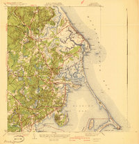
1941 Map of Duxbury
USGS Topo · Published 1941About this map
Historical figures of the early colonial era define this coastal landscape, which was surveyed in the mid-1930s. The map preserves the legacy of the Old Colony through landmarks like the Daniel Webster House, the Gov Winslow House, and the John Alden House. Along the shoreline, the Standish Monument towers over Captains Hill near the Site of Myles Standish House, anchoring the region's deep genealogical roots.
Find a feature on this map
124 named features on this map. Tap any name to fly to it.
Don’t see what you’re looking for? This feature index may not catch every label — zoom into the map to look around manually.
Map Details
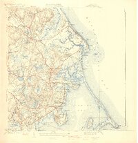
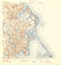
Editions of this 1941 Duxbury Map
3 editions found
Other maps of this area

1885 · Abington
USGS Topo · 1:62,500

1885 · Duxbury
USGS Topo · 1:62,500

1885 · Middleboro
USGS Topo · 1:62,500

1886 · Plymouth
USGS Topo · 1:62,500

1888 · Duxbury
USGS Topo · 1:62,500

1888 · Middleboro
USGS Topo · 1:62,500

1888 · Abington
USGS Topo · 1:62,500

1889 · Plymouth
USGS Topo · 1:62,500

1893 · Abington
USGS Topo · 1:62,500

1893 · Duxbury
USGS Topo · 1:62,500