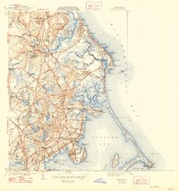
1941 Map of Duxbury
USGS Topo · Published 1948About this map
The coastal landscape of the Duxbury and Marshfield area is defined by its deep historical roots and maritime geography as it appeared just before the mid-century. Significant sites dedicated to Mayflower settlers are prominent, including the Old Burying Ground Grave of Myles Standish near Captains Hill and the John Alden House. The map documents a transition from old industrial uses to residential and recreational life, showing numerous Cranberry Bogs scattered inland while coastal areas like Brant Rock and Green Harbor show denser settlement patterns.
Find a feature on this map
85 named features on this map. Tap any name to fly to it.
Don’t see what you’re looking for? This feature index may not catch every label — zoom into the map to look around manually.
Map Details
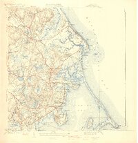
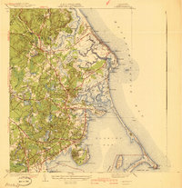
Editions of this 1941 Duxbury Map
3 editions found
Other maps of this area

1885 · Abington
USGS Topo · 1:62,500

1885 · Duxbury
USGS Topo · 1:62,500

1885 · Middleboro
USGS Topo · 1:62,500

1886 · Plymouth
USGS Topo · 1:62,500

1888 · Duxbury
USGS Topo · 1:62,500

1888 · Middleboro
USGS Topo · 1:62,500

1888 · Abington
USGS Topo · 1:62,500

1889 · Plymouth
USGS Topo · 1:62,500

1893 · Abington
USGS Topo · 1:62,500

1893 · Duxbury
USGS Topo · 1:62,500