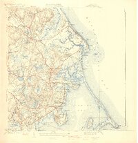
1941 Map of Duxbury
USGS Topo · Published 1941About this map
John Alden House and the Old Burying Ground anchor this coastal landscape, reflecting the deep colonial roots of the South Shore just before the mid-century. The shoreline is defined by the sweeping reach of Duxbury Beach and the protected waters of Duxbury Bay, where the Plymouth Lighthouse stands at the tip of Gurnet Point. Inland, the map reveals a mosaic of early twentieth-century life, from the industrial heritage of Cranberry Bogs to the maritime legacy at the National Sailors Home.
Find a feature on this map
115 named features on this map. Tap any name to fly to it.
Don’t see what you’re looking for? This feature index may not catch every label — zoom into the map to look around manually.
Map Details
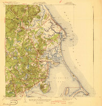
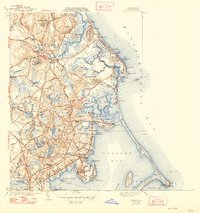
Editions of this 1941 Duxbury Map
3 editions found
Other maps of this area

1885 · Abington
USGS Topo · 1:62,500

1885 · Duxbury
USGS Topo · 1:62,500

1885 · Middleboro
USGS Topo · 1:62,500

1886 · Plymouth
USGS Topo · 1:62,500

1888 · Duxbury
USGS Topo · 1:62,500

1888 · Middleboro
USGS Topo · 1:62,500

1888 · Abington
USGS Topo · 1:62,500

1889 · Plymouth
USGS Topo · 1:62,500

1893 · Abington
USGS Topo · 1:62,500

1893 · Duxbury
USGS Topo · 1:62,500