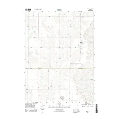
2014 Map of Dwight
USGS Topo · Published 2014About this map
Dwight and Bee anchor this agricultural region of the Great Plains, where the landscape is defined by the headwaters of the Oak Creek system. The survey shows a highly managed water table, characterized by numerous small-scale impoundments such as Pekarek Reservoir, Vandenberg Reservoir, and Stastny Reservoir along the winding course of Plum Cr. These reservoirs suggest a history of local water conservation and flood control vital to the surrounding farmsteads.
Find a feature on this map
53 named features on this map. Tap any name to fly to it.
Don’t see what you’re looking for? This feature index may not catch every label — zoom into the map to look around manually.
Map Details
Editions of this 2014 Dwight Map
This is the sole edition of this map. No revisions or reprints were ever made.
Other maps of this area

1897 · Lincoln
USGS Topo · 1:125,000

1899 · Wahoo
USGS Topo · 1:125,000

1899 · David City
USGS Topo · 1:125,000

1934 · Seward
USGS Topo · 1:48,000

1939 · Seward
USGS Topo · 1:62,500

1955 · Fremont
USGS Topo · 1:250,000

1955 · Lincoln
USGS Topo · 1:250,000

1957 · Fremont
USGS Topo · 1:250,000

1957 · Lincoln
USGS Topo · 1:250,000

1958 · Fremont
USGS Topo · 1:250,000