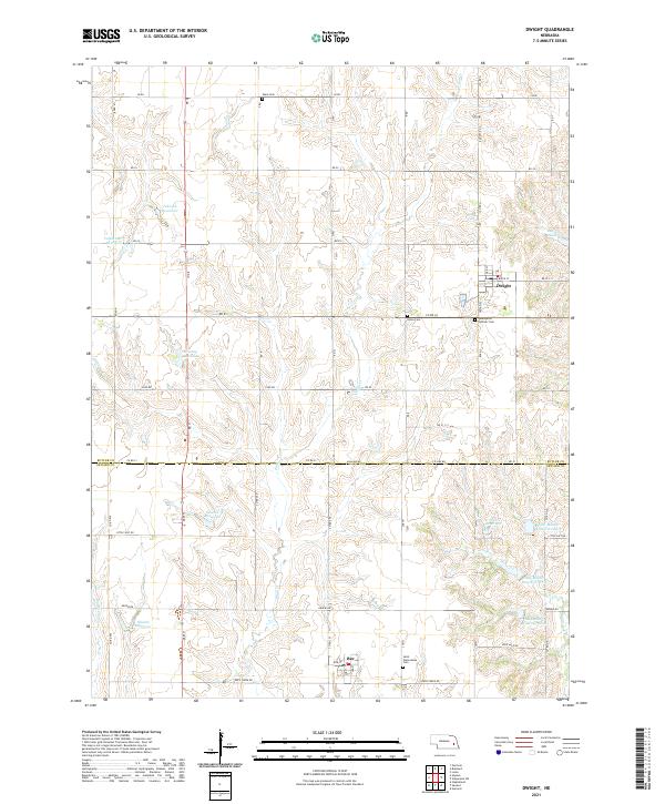
2021 Map of Dwight
USGS Topo · Published 2021About this map
Dwight and Bee serve as the primary anchors for this rural landscape along the border of Butler and Seward Counties. The terrain is defined by a dense network of drainage and local water management, featuring named impoundments like Pekarek Reservoir, Stastny Reservoir, and Skolnik Reservoir that support the surrounding agricultural operations. Several small, historically significant burial grounds, including Ware Cem, Union Cem, and Assumption Catholic Cem, are distributed along the section lines, reflecting the settlement patterns of early homesteading families in this part of Nebraska. The drainage of Plum Cr and Middle Oak Cr dictates the local topography, while a precise grid of rural routes such as Ashland Rd and Rock Creek Rd provides the modern framework for the region's movement and commerce.
Find a feature on this map
42 named features on this map. Tap any name to fly to it.
Don’t see what you’re looking for? This feature index may not catch every label — zoom into the map to look around manually.
Map Details
Editions of this 2021 Dwight Map
This is the sole edition of this map. No revisions or reprints were ever made.
Other maps of this area

1897 · Lincoln
USGS Topo · 1:125,000

1899 · Wahoo
USGS Topo · 1:125,000

1899 · David City
USGS Topo · 1:125,000

1934 · Seward
USGS Topo · 1:48,000

1939 · Seward
USGS Topo · 1:62,500

1955 · Fremont
USGS Topo · 1:250,000

1955 · Lincoln
USGS Topo · 1:250,000

1957 · Fremont
USGS Topo · 1:250,000

1957 · Lincoln
USGS Topo · 1:250,000

1958 · Fremont
USGS Topo · 1:250,000