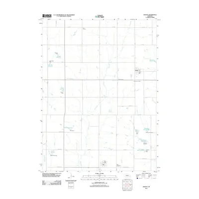
1966 Map of Dwight
USGS Topo · Published 1967About this map
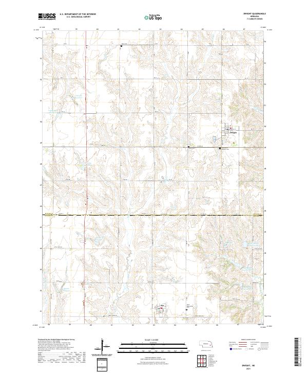
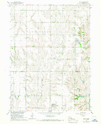
Dwight sits at the center of this 1960s agricultural landscape, serving as a primary settlement along with Bee to the south. The area is defined by the drainage basins of Plum Creek and Middle Oak Creek, which carve through the plains of the Butler Co Seward Co border. An Old Railroad Grade remains visible on the landscape, cutting diagonally across the eastern sections and marking the former path of rail commerce through Richardson township. This survey preserves the locations of several community landmarks essential for genealogical research, including St Marys Cem, St Wenceslaus Cem, and Ware Cem. The mapping reflects a period of mid-century rural stability in the Missouri River Basin development area, showing the transition from traditional rail-dependent transport to a road-based infrastructure.
Find a feature on this map
15 named features on this map. Tap any name to fly to it.
Don’t see what you’re looking for? This feature index may not catch every label — zoom into the map to look around manually.
Map Details
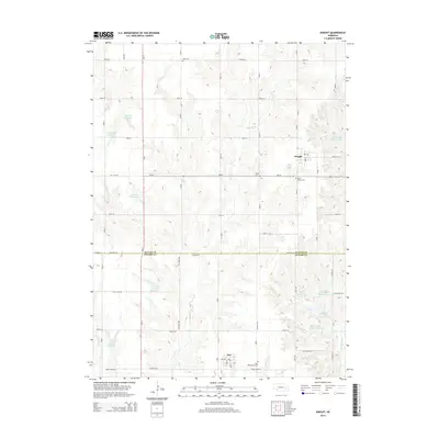
Editions of this 1966 Dwight Map
This is the sole edition of this map. No revisions or reprints were ever made.
Historical Maps of Dwight Through Time
5 maps found