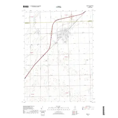
2018 Map of Dwight
USGS Topo · Published 2018About this map
The village of Dwight serves as the primary hub of this 2018 survey, situated at the intersection of modern transit and historic corridors. The map clearly preserves the alignment of Old Us Hwy 66, reflecting the era of early transcontinental travel before the interstate system dominated the Illinois prairie. This transition is marked by the presence of several small local aviation sites, including Sauer Airport, Watters Airport, and the interestingly named Jim & Peg Airport, illustrating the decentralization of rural air travel.
Find a feature on this map
69 named features on this map. Tap any name to fly to it.
Don’t see what you’re looking for? This feature index may not catch every label — zoom into the map to look around manually.
Map Details
Editions of this 2018 Dwight Map
This is the sole edition of this map. No revisions or reprints were ever made.
Other maps of this area

1935 · Pontiac
USGS Topo · 1:62,500

1939 · Pontiac
USGS Topo · 1:62,500

1947 · Cullom
USGS Topo · 1:62,500

1948 · Dwight
USGS Topo · 1:62,500

1949 · Cullom
USGS Topo · 1:62,500

1950 · Dwight
USGS Topo · 1:62,500

1958 · Odell
USGS Topo · 1:62,500

1958 · Aurora
USGS Topo · 1:250,000

1958 · Peoria
USGS Topo · 1:250,000

1961 · Aurora
USGS Topo · 1:250,000