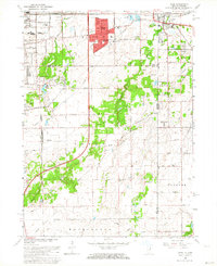
1962 Map of Dyer
USGS Topo · Published 1964About this map
The Sauk Trail anchors this mid-century look at the Illinois-Indiana borderlands, where the expanding suburbs of Chicago Heights and Sauk Village meet the farm country of Will and Lake counties. Significant transportation corridors define the landscape, including the Elgin Joliet and Eastern and the Chicago and Eastern Illinois railroads. These lines supported local industries like the Substation and provided connections for smaller outlying settlements such as Faithorn and Crete.
Find a feature on this map
46 named features on this map. Tap any name to fly to it.
Don’t see what you’re looking for? This feature index may not catch every label — zoom into the map to look around manually.
Map Details
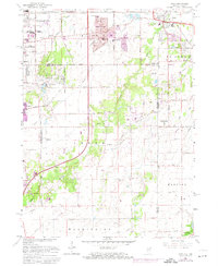
Editions of this 1962 Dyer Map
2 editions found
Other maps of this area

1892 · Calumet
USGS Topo · 1:62,500

1893 · Calumet
USGS Topo · 1:62,500

1900 · Toleston
USGS Topo · 1:62,500

1900 · Calumet
USGS Topo · 1:62,500

1901 · Calumet
USGS Topo · 1:62,500

1929 · Calumet City
USGS Topo · 1:24,000

1929 · Harvey
USGS Topo · 1:24,000

1929 · Dyer
USGS Topo · 1:24,000

1930 · Dyer
USGS Topo · 1:24,000

1930 · Steger
USGS Topo · 1:24,000