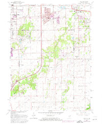
1962 Map of Dyer
USGS Topo · Published 1974About this map
Sauk Village and the outskirts of Chicago Heights anchor this mid-century view of the Illinois-Indiana borderlands. The landscape transitions from the dense suburban development of East Chicago Heights and Steger in the west to the more rural townships of Crete and Hanover. A heavy industrial and transportation presence is evident through a complex rail network including the Elgin Joliet and Eastern and the Monon railroad, alongside major electrical infrastructure like the Substation near South Chicago Heights. Local educational and religious life is marked by numerous institutions such as St James Sch, Sauk Trail Sch, and the St Johns Ch further east. Natural features like Deer Creek and Plum Creek meander through the terrain, while Eagle Lake (Dry) suggests a shifting hydrological environment during this period of expansion.
Find a feature on this map
56 named features on this map. Tap any name to fly to it.
Don’t see what you’re looking for? This feature index may not catch every label — zoom into the map to look around manually.
Map Details
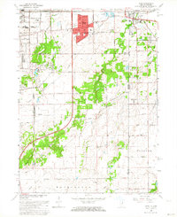
Editions of this 1962 Dyer Map
2 editions found
Other maps of this area

1892 · Calumet
USGS Topo · 1:62,500

1893 · Calumet
USGS Topo · 1:62,500

1900 · Toleston
USGS Topo · 1:62,500

1900 · Calumet
USGS Topo · 1:62,500

1901 · Calumet
USGS Topo · 1:62,500

1929 · Calumet City
USGS Topo · 1:24,000

1929 · Harvey
USGS Topo · 1:24,000

1929 · Dyer
USGS Topo · 1:24,000

1930 · Dyer
USGS Topo · 1:24,000

1930 · Steger
USGS Topo · 1:24,000