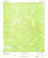
1971 Map of Dyke
USGS Topo · Published 1973About this map
Talking Rock Creek and its many tributaries carve a complex drainage pattern across this section of the North Georgia mountains during the early 1970s. The landscape is defined by the sharp boundary between Gilmer Co and Pickens Co, where small rural settlements like Dyke and Pleasant Valley serve as focal points for local life. The map reveals a community organized around its spiritual and social centers, including Clear Creek Ch, Price Creek Ch, and Cross Roads Ch.
Find a feature on this map
25 named features on this map. Tap any name to fly to it.
Don’t see what you’re looking for? This feature index may not catch every label — zoom into the map to look around manually.
Map Details
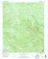
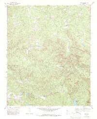
Editions of this 1971 Dyke Map
3 editions found
Other maps of this area

1886 · Dalton
USGS Topo · 1:125,000

1888 · Ellijay
USGS Topo · 1:125,000

1890 · Suwanee
USGS Topo · 1:125,000

1890 · Cartersville
USGS Topo · 1:125,000

1891 · Cartersville
USGS Topo · 1:125,000

1892 · Ellijay
USGS Topo · 1:125,000

1892 · Dalton
USGS Topo · 1:125,000

1894 · Suwanee
USGS Topo · 1:125,000

1896 · Cartersville
USGS Topo · 1:125,000

1897 · Dalton
USGS Topo · 1:125,000