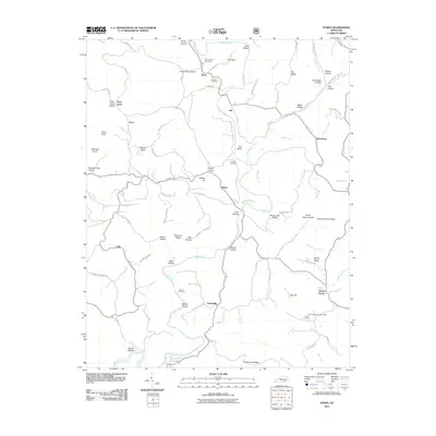
2011 Map of Dykes
USGS Topo · Published 2011About this map
Buck Creek carves a deep, winding path through this portion of Pulaski County, shaping the settlement patterns and road networks of the early 21st century. The map reveals a landscape defined by prominent ridges and numerous hollows, where small communities like Dykes and Poplarville serve as central points for the surrounding rural area. High ground is marked by features like Pea Ridge and Nancy Jane Ridge, while the Mount Victory Lookout Tower stands as a sentinel over the southern terrain near Mount Victory.
Find a feature on this map
103 named features on this map. Tap any name to fly to it.
Don’t see what you’re looking for? This feature index may not catch every label — zoom into the map to look around manually.
Map Details
Editions of this 2011 Dykes Map
This is the sole edition of this map. No revisions or reprints were ever made.
Other maps of this area

1890 · Williamsburg
USGS Topo · 1:125,000

1893 · London
USGS Topo · 1:125,000

1894 · Williamsburg
USGS Topo · 1:125,000

1897 · London
USGS Topo · 1:125,000

1932 · Burnside
USGS Topo · 1:62,500

1935 · Somerset
USGS Topo · 1:62,500

1952 · Hail
USGS Topo · 1:24,000

1952 · Billows
USGS Topo · 1:24,000

1952 · Ano
USGS Topo · 1:24,000

1952 · Dykes
USGS Topo · 1:24,000