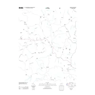
2013 Map of Dykes
USGS Topo · Published 2013About this map
Mount Victory and its surroundings in Pulaski County are defined by a network of hollows and ridges where early 21st-century settlement patterns remain closely tied to the land's complex topography. The map illustrates a landscape of dispersed rural communities including Poplarville, Colo, and Bent, connected by narrow roads that trace the high ground of White Lily Ridge and Pea Ridge. Water courses like Buck Cr and Scaffold Lick carve through the terrain, creating named features such as The Sinks and Dark Hollow.
Find a feature on this map
102 named features on this map. Tap any name to fly to it.
Don’t see what you’re looking for? This feature index may not catch every label — zoom into the map to look around manually.
Map Details
Editions of this 2013 Dykes Map
This is the sole edition of this map. No revisions or reprints were ever made.
Other maps of this area

1890 · Williamsburg
USGS Topo · 1:125,000

1893 · London
USGS Topo · 1:125,000

1894 · Williamsburg
USGS Topo · 1:125,000

1897 · London
USGS Topo · 1:125,000

1932 · Burnside
USGS Topo · 1:62,500

1935 · Somerset
USGS Topo · 1:62,500

1952 · Hail
USGS Topo · 1:24,000

1952 · Billows
USGS Topo · 1:24,000

1952 · Ano
USGS Topo · 1:24,000

1952 · Dykes
USGS Topo · 1:24,000