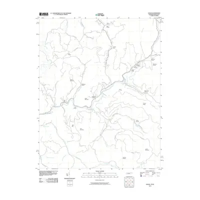
2010 Map of Eagan
USGS Topo · Published 2010About this map
King Mountain and Teague Mountain dominate this landscape on the Tennessee-Kentucky border, where the region's coal mining heritage is clearly etched into the terrain. Industrial footprints are visible at the Upper Eagan Mine and Arnold Number Two Mine, highlighting the extraction activity that defined these hollows. The Clear Fork river winds through the center of the sheet, providing a geographic anchor for small communities like those served by the Eagan Post Office and Pruden Post Office.
Find a feature on this map
62 named features on this map. Tap any name to fly to it.
Don’t see what you’re looking for? This feature index may not catch every label — zoom into the map to look around manually.
Map Details
Editions of this 2010 Eagan Map
This is the sole edition of this map. No revisions or reprints were ever made.
Other maps of this area

1886 · Cumberland Gap
USGS Topo · 1:125,000

1888 · Cumberland Gap
USGS Topo · 1:125,000

1890 · Williamsburg
USGS Topo · 1:125,000

1891 · Cumberland Gap
USGS Topo · 1:125,000

1893 · Briceville
USGS Topo · 1:125,000

1894 · Williamsburg
USGS Topo · 1:125,000

1895 · Briceville
USGS Topo · 1:125,000

1896 · Briceville
USGS Topo · 1:125,000

1897 · Maynardville
USGS Topo · 1:125,000

1900 · Maynardville
USGS Topo · 1:125,000