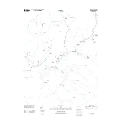
2013 Map of Eagan
USGS Topo · Published 2013About this map
Clairfield and Eagan sit at the center of this mountain landscape where the Clear Fork and Buffalo Cr drain through deep hollows. The settlement pattern follows the narrow valley floors, connected by roads such as Anthras Rd and Valley Creek RD. Small communities like Hamlin Town and Marion are tucked between massive landforms including Teague Mountain and King Mountain. To the northeast, the terrain reveals a series of evocative names like Boneyard Hollow, Big Three Hollow, and Morgan Hollow, which speak to the local character of these drainages. Moving toward the Kentucky border, Pruden and Fonde mark the edge of the survey area. The presence of King Cemetery Rd and numerous family-named hollows like Patterson Hollow and Rogerston Hollow provide specific points of interest for those researching the genealogy and history of this specific corridor.
Find a feature on this map
86 named features on this map. Tap any name to fly to it.
Don’t see what you’re looking for? This feature index may not catch every label — zoom into the map to look around manually.
Map Details
Editions of this 2013 Eagan Map
This is the sole edition of this map. No revisions or reprints were ever made.
Other maps of this area

1886 · Cumberland Gap
USGS Topo · 1:125,000

1888 · Cumberland Gap
USGS Topo · 1:125,000

1890 · Williamsburg
USGS Topo · 1:125,000

1891 · Cumberland Gap
USGS Topo · 1:125,000

1893 · Briceville
USGS Topo · 1:125,000

1894 · Williamsburg
USGS Topo · 1:125,000

1895 · Briceville
USGS Topo · 1:125,000

1896 · Briceville
USGS Topo · 1:125,000

1897 · Maynardville
USGS Topo · 1:125,000

1900 · Maynardville
USGS Topo · 1:125,000