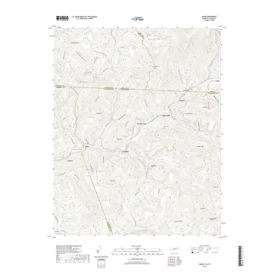
2019 Map of Eagan
USGS Topo · Published 2019About this map
Clairfield and Eagan sit along the winding drainage of Clear Fork, marking a corridor of settlement where the Kentucky and Tennessee state line cuts across the high ridges of the Log Mountains. This 2019 survey documents the complex topography of the Cumberland Plateau, where coal mining and timber historically shaped the development of communities like Fonde, Pruden, and Marion. The map captures the remote character of the borderlands, showing numerous hollows and gaps such as Hatfield Gap and Morgan Hollow. Local history is preserved in the location of several family burial grounds, including Partin Cem, King Cem, and Bostica Cem. These features, along with named summits like Cumberland Mountain and Rich Mtn, provide a detailed view of the rugged geography that defines the border between Bell, Whitley, Campbell, and Claiborne counties.
Find a feature on this map
80 named features on this map. Tap any name to fly to it.
Don’t see what you’re looking for? This feature index may not catch every label — zoom into the map to look around manually.
Map Details
Editions of this 2019 Eagan Map
This is the sole edition of this map. No revisions or reprints were ever made.
Other maps of this area

1886 · Cumberland Gap
USGS Topo · 1:125,000

1888 · Cumberland Gap
USGS Topo · 1:125,000

1890 · Williamsburg
USGS Topo · 1:125,000

1891 · Cumberland Gap
USGS Topo · 1:125,000

1893 · Briceville
USGS Topo · 1:125,000

1894 · Williamsburg
USGS Topo · 1:125,000

1895 · Briceville
USGS Topo · 1:125,000

1896 · Briceville
USGS Topo · 1:125,000

1897 · Maynardville
USGS Topo · 1:125,000

1900 · Maynardville
USGS Topo · 1:125,000