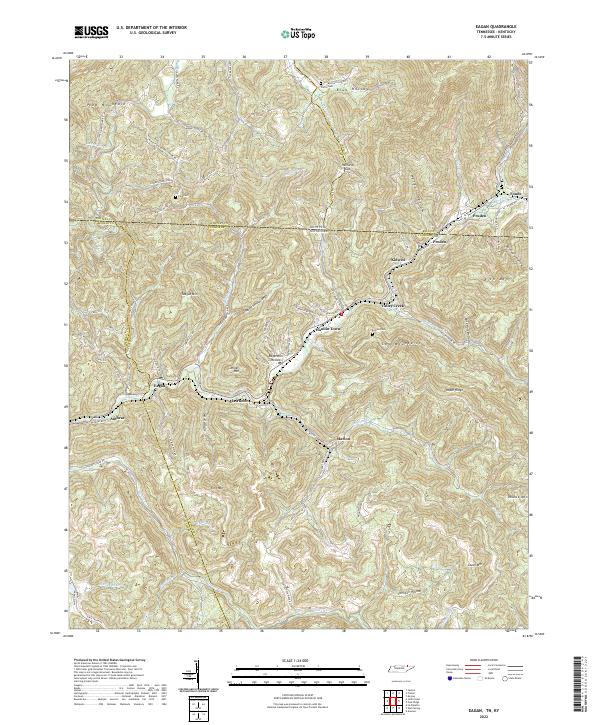
2022 Map of Eagan
USGS Topo · Published 2022About this map
The Log Mountains and Cooper Ridge dominate the landscape along the winding border of Tennessee and Kentucky. This rugged corridor is defined by the course of the Clear Fork river and the historic path of the L & N RR, which serviced numerous mining and residential outposts including Eagan, Clairfield, and Anthras. Smaller settlements like Marion and Hamlin Town are situated along tributary valleys such as Straight Cr and Nolan Br, illustrating the historical reliance on narrow valley floors for transport and habitation.
Find a feature on this map
82 named features on this map. Tap any name to fly to it.
Don’t see what you’re looking for? This feature index may not catch every label — zoom into the map to look around manually.
Map Details
Editions of this 2022 Eagan Map
This is the sole edition of this map. No revisions or reprints were ever made.
Other maps of this area

1886 · Cumberland Gap
USGS Topo · 1:125,000

1888 · Cumberland Gap
USGS Topo · 1:125,000

1890 · Williamsburg
USGS Topo · 1:125,000

1891 · Cumberland Gap
USGS Topo · 1:125,000

1893 · Briceville
USGS Topo · 1:125,000

1894 · Williamsburg
USGS Topo · 1:125,000

1895 · Briceville
USGS Topo · 1:125,000

1896 · Briceville
USGS Topo · 1:125,000

1897 · Maynardville
USGS Topo · 1:125,000

1900 · Maynardville
USGS Topo · 1:125,000