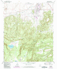
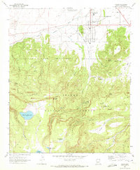
1969 Map of Eagar
USGS Topo · Published 1985About this map
Round Valley serves as the topographic centerpiece of this survey, where the settlements of Eagar and Springerville meet along the Little Colorado River. The map captures a moment of local growth, evidenced by the Springerville Eagar Municipal Airport and the Round Valley High Sch, while maintaining deep ties to the land through numerous water management features like Atcheson Reservoir and Little George Reservoir. South of the town sites, the terrain transitions into the high-elevation woods of the Apache National Forest, marked by canyons such as Coon Canyon and Grapevine Canyon. Genealogical interest is found at the local Cem, while the region's volcanic geology is signaled by multiple Cinder Pit excavations and prominent landmarks like Round Mountain. A network of primitive Jeep Trails and Trails crisscrosses the southern sector, leading to remote points like the Grandview Overlook.
Find a feature on this map
45 named features on this map. Tap any name to fly to it.
Don’t see what you’re looking for? This feature index may not catch every label — zoom into the map to look around manually.
Map Details
Editions of this 1969 Eagar Map
2 editions found
Other maps of this area

1886 · St Johns
USGS Topo · 1:250,000

1892 · St Johns
USGS Topo · 1:250,000

1922 · Nutrioso
USGS Topo · 1:125,000

1954 · Clifton
USGS Topo · 1:250,000

1954 · Saint Johns
USGS Topo · 1:250,000

1957 · Clifton
USGS Topo · 1:250,000

1957 · Saint Johns
USGS Topo · 1:250,000

1958 · Clifton
USGS Topo · 1:250,000

1958 · Saint Johns
USGS Topo · 1:250,000

1958 · Alpine
USGS Topo · 1:62,500