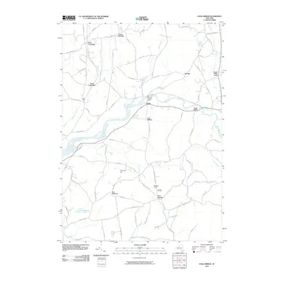
2010 Map of Eagle Bridge
USGS Topo · Published 2010About this map
The Hoosic River defines the central corridor of this Rensselaer and Washington County landscape, where agriculture and early transportation infrastructure meet. A notable landmark is the Buskirks Covered Bridge, spanning the river near the settlement of Buskirk. The surrounding terrain is marked by numerous small communities including West Cambridge, East Pittstown, and Eagle Bridge, many of which developed along early turnpikes and rural road networks. To the south, Nipmoose Hill rises above the Nipmoose Brook, while several small ponds like Newcomb Pond and Wing Pond dot the southern valleys. This topographic survey captures the area's rural character, featuring family-named roads such as Darwin Rd and Whiteside Rd, alongside localized aviation at Moseleys Airport and local history at Woodside Cemetery.
Find a feature on this map
87 named features on this map. Tap any name to fly to it.
Don’t see what you’re looking for? This feature index may not catch every label — zoom into the map to look around manually.
Map Details
Editions of this 2010 Eagle Bridge Map
This is the sole edition of this map. No revisions or reprints were ever made.
Other maps of this area

1893 · Cohoes
USGS Topo · 1:62,500

1895 · Cohoes
USGS Topo · 1:62,500

1895 · Cambridge
USGS Topo · 1:62,500

1897 · Hoosick
USGS Topo · 1:62,500

1898 · Cambridge
USGS Topo · 1:62,500

1898 · Cohoes
USGS Topo · 1:62,500

1900 · Taconic
USGS Topo · 1:125,000

1900 · Schuylerville
USGS Topo · 1:62,500

1901 · Cambridge
USGS Topo · 1:62,500

1903 · Mettawee
USGS Topo · 1:125,000