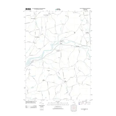
2013 Map of Eagle Bridge
USGS Topo · Published 2013About this map
The Hoosic River winds through this rural landscape in Rensselaer and Washington counties, serving as a primary corridor for small settlements and agricultural landmarks. The Buskirks Covered Bridge stands as a notable historical crossing, anchoring the village of Buskirk. To the north and south, the map reveals a pattern of dispersed farming communities such as West Cambridge, South Cambridge, and East Pittstown, often centered around specific intersections and small brooks like Nipmoose Brook. Local genealogy and land history are preserved in the locations of the Woodside Cem and family-named properties like Stannard Farm and Passing Fancy Farm. Higher elevations such as Oak Hill and Nipmoose Hill overlook the valley, providing a clear picture of the region's topographical transition from river bottom to upland pastures during the early twenty-first century.
Find a feature on this map
108 named features on this map. Tap any name to fly to it.
Don’t see what you’re looking for? This feature index may not catch every label — zoom into the map to look around manually.
Map Details
Editions of this 2013 Eagle Bridge Map
This is the sole edition of this map. No revisions or reprints were ever made.
Other maps of this area

1893 · Cohoes
USGS Topo · 1:62,500

1895 · Cohoes
USGS Topo · 1:62,500

1895 · Cambridge
USGS Topo · 1:62,500

1897 · Hoosick
USGS Topo · 1:62,500

1898 · Cambridge
USGS Topo · 1:62,500

1898 · Cohoes
USGS Topo · 1:62,500

1900 · Taconic
USGS Topo · 1:125,000

1900 · Schuylerville
USGS Topo · 1:62,500

1901 · Cambridge
USGS Topo · 1:62,500

1903 · Mettawee
USGS Topo · 1:125,000