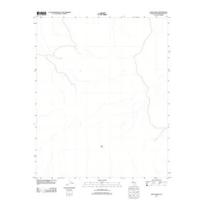
2012 Map of Eagle Crags
USGS Topo · Published 2012About this map
Eagle Crags dominate the southern portion of this high-desert landscape in San Bernardino County, where the terrain is defined by a complex network of ephemeral drainage patterns. This 2012 survey by the U.S. Geological Survey captures a largely undeveloped wilderness area, notable for its stark topography and vital water sources like Moonshine Spring in the northwest. The map reveals the intricate natural contours of the Mojave Desert environment before any modern expansion or industrial footprint reached these specific sections of the county.
Find a feature on this map
2 named features on this map. Tap any name to fly to it.
Don’t see what you’re looking for? This feature index may not catch every label — zoom into the map to look around manually.
Map Details
Editions of this 2012 Eagle Crags Map
This is the sole edition of this map. No revisions or reprints were ever made.
Other maps of this area

1915 · Searles Lake
USGS Topo · 1:250,000

1933 · Avawatz Mountains
USGS Topo · 1:250,000

1947 · Trona
USGS Topo · 1:250,000

1948 · Trona
USGS Topo · 1:250,000

1948 · Quail Mountains
USGS Topo · 1:62,500

1948 · Goldstone Lake
USGS Topo · 1:62,500

1950 · Wingate Pass
USGS Topo · 1:62,500

1951 · Goldstone Lake
USGS Topo · 1:62,500

1951 · Wingate Pass
USGS Topo · 1:62,500

1951 · Quail Mountains
USGS Topo · 1:62,500