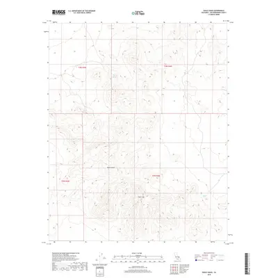
2018 Map of Eagle Crags
USGS Topo · Published 2018About this map
Eagle Crags dominate this section of the Mojave Desert in San Bernardino County, where the high desert landscape is defined by its sparse water sources and dramatic elevation changes. This 2018 survey, published by the U.S. Geological Survey, identifies critical hydrologic features such as Blue Chalcedony Spring in the northern portion of the quadrangle and Mesquite Spring toward the southeast. These springs are vital landmarks in an otherwise arid terrain, historically serving as essential stops for travel and wildlife. The map provides a precise layout of the Public Land Survey System, showing the junctions of townships t28s r45e, t28s r46e, t29s r45e, and t29s r46e. These administrative grids provide a clear framework for understanding land management and ownership within this protected desert region.
Find a feature on this map
8 named features on this map. Tap any name to fly to it.
Don’t see what you’re looking for? This feature index may not catch every label — zoom into the map to look around manually.
Map Details
Editions of this 2018 Eagle Crags Map
This is the sole edition of this map. No revisions or reprints were ever made.
Other maps of this area

1915 · Searles Lake
USGS Topo · 1:250,000

1933 · Avawatz Mountains
USGS Topo · 1:250,000

1947 · Trona
USGS Topo · 1:250,000

1948 · Trona
USGS Topo · 1:250,000

1948 · Quail Mountains
USGS Topo · 1:62,500

1948 · Goldstone Lake
USGS Topo · 1:62,500

1950 · Wingate Pass
USGS Topo · 1:62,500

1951 · Goldstone Lake
USGS Topo · 1:62,500

1951 · Wingate Pass
USGS Topo · 1:62,500

1951 · Quail Mountains
USGS Topo · 1:62,500