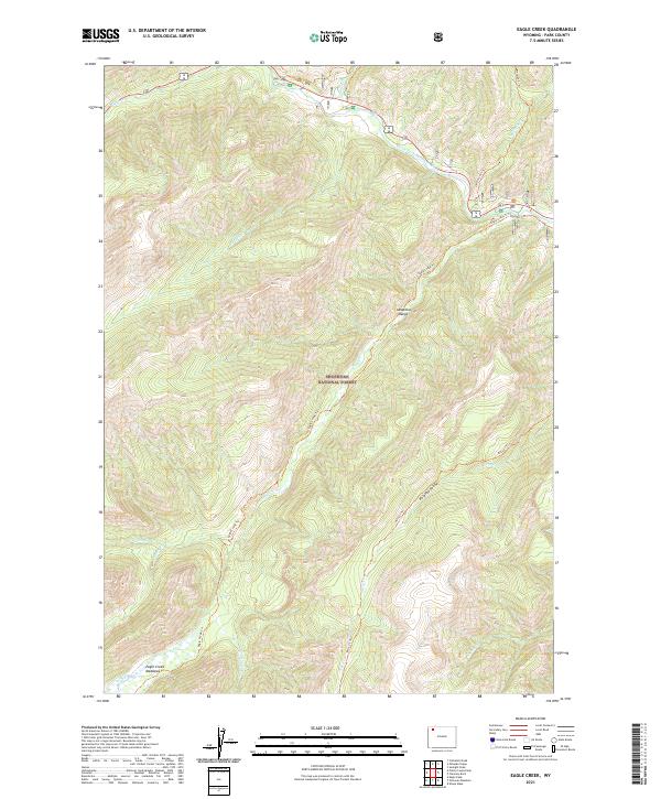
2021 Map of Eagle Creek
USGS Topo · Published 2021About this map
The Absaroka Range defines this high-elevation landscape within the Shoshone National Forest. This terrain is characterized by deep drainages and sharp ridgelines, where the North Fork Shoshone River cuts through the northern section of the map. Central to the geography is the extensive Eagle Cr drainage, which flows through the Eagle Creek Meadows and past Paradise Valley. The map detail reveals a primitive transportation network consisting of several established routes, including the Eagle Creek Trl, Kitty Cr Trl, and Morman Cr Trl. These trails follow the natural contours of the creeks, such as Kitty Cr and Middle Cr, providing the only structured access through this wilderness area. The land remains largely undeveloped, preserving a backcountry environment focused on the seasonal hydrology of features like Cloudburst Cr and Grinnell Cr.
Find a feature on this map
22 named features on this map. Tap any name to fly to it.
Don’t see what you’re looking for? This feature index may not catch every label — zoom into the map to look around manually.
Map Details
Editions of this 2021 Eagle Creek Map
This is the sole edition of this map. No revisions or reprints were ever made.
Other maps of this area

1885 · Lake
USGS Topo · 1:125,000

1886 · Canyon
USGS Topo · 1:125,000

1893 · Ishawooa
USGS Topo · 1:125,000

1895 · Ishawooa
USGS Topo · 1:125,000

1895 · Canyon
USGS Topo · 1:125,000

1895 · Lake
USGS Topo · 1:125,000

1896 · Lake
USGS Topo · 1:125,000

1896 · Canyon
USGS Topo · 1:125,000

1896 · Crandall Creek
USGS Topo · 1:125,000

1899 · Crandall
USGS Topo · 1:125,000