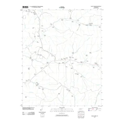
2010 Map of Eagle Creek
USGS Topo · Published 2010About this map
Hardin Creek and its many tributaries, including Eagle Creek, carve through this section of Wayne County, Tennessee. The landscape is defined by a dense network of named hollows and ridges, such as Dillon Hollow and Dickson Bluff Ridge, reflecting a long history of rural settlement and local industry. Evidence of earlier activity is found at the Sanders Mine in the northwest and the Hardins Creek Fire Tower situated on a high point above Flat Gap Creek.
Find a feature on this map
96 named features on this map. Tap any name to fly to it.
Don’t see what you’re looking for? This feature index may not catch every label — zoom into the map to look around manually.
Map Details
Editions of this 2010 Eagle Creek Map
This is the sole edition of this map. No revisions or reprints were ever made.
Other maps of this area

1905 · Waynesboro
USGS Topo · 1:125,000

1936 · Wolf Pit Ridge
USGS Topo · 1:24,000

1936 · Eagle Creek
USGS Topo · 1:24,000

1936 · Olivehill
USGS Topo · 1:24,000

1936 · Bath Springs
USGS Topo · 1:24,000

1936 · Leatherwood
USGS Topo · 1:24,000

1936 · Clifton
USGS Topo · 1:24,000

1936 · Three Churches
USGS Topo · 1:24,000

1936 · Waynesboro
USGS Topo · 1:24,000

1936 · Martins Mills
USGS Topo · 1:24,000