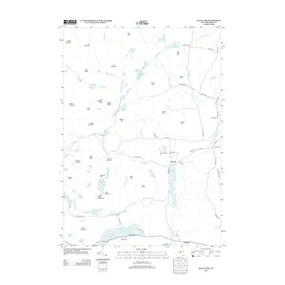
2013 Map of Eagle Lake
USGS Topo · Published 2013About this map
The industrial and rural history of Essex County is etched into the terrain surrounding Ironville, where the presence of Furnace Mountain and Railroad Hill points to a landscape once defined by mining and resource extraction. This 2013 survey of the Adirondack foothills illustrates a complex network of water and topography, centered on the elongated Eagle Lake and its prominent Eagle Cliff. To the south, the settlement of Chilson sits along the road network near Worcester Pond, while the northern portion is dominated by numerous high points like Bloody Mountain and Cat Mountain. The map preserves a dense system of historical transport and family-named roads such as Fred Carey Rd and Towner Hill Rd, connecting isolated homesteads to larger drainages like Putnam Cr and Paradox Cr. Local historians can trace the transition from deep woods to early industrial hubs through these preserved names and geographic features.
Find a feature on this map
88 named features on this map. Tap any name to fly to it.
Don’t see what you’re looking for? This feature index may not catch every label — zoom into the map to look around manually.
Map Details
Editions of this 2013 Eagle Lake Map
This is the sole edition of this map. No revisions or reprints were ever made.
Other maps of this area

1894 · Elizabethtown
USGS Topo · 1:62,500

1894 · Port Henry
USGS Topo · 1:62,500

1894 · Ticonderoga
USGS Topo · 1:62,500

1895 · Elizabethtown
USGS Topo · 1:62,500

1895 · Paradox Lake
USGS Topo · 1:62,500

1896 · Ticonderoga
USGS Topo · 1:62,500

1897 · Paradox Lake
USGS Topo · 1:62,500

1898 · Port Henry
USGS Topo · 1:62,500

1901 · Elizabethtown
USGS Topo · 1:62,500

1902 · Ticonderoga
USGS Topo · 1:62,500