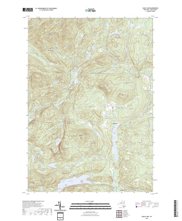
2023 Map of Eagle Lake
USGS Topo · Published 2023About this map
Ironville and the eastern reaches of Eagle Lake anchor this study of the Adirondack upland, where industrial history is written into the names of the terrain. The presence of Old Furnace Rd, Furnace Mountain, and Ore Bed Bay points to the area's legacy of iron mining and processing, particularly centered around the historic Penfield Pond. This landscape within the Adirondack Park is defined by a dense network of water bodies and high peaks, including Bloody Mountain and Hail Mountain.
Find a feature on this map
90 named features on this map. Tap any name to fly to it.
Don’t see what you’re looking for? This feature index may not catch every label — zoom into the map to look around manually.
Map Details
Editions of this 2023 Eagle Lake Map
This is the sole edition of this map. No revisions or reprints were ever made.
Other maps of this area

1894 · Elizabethtown
USGS Topo · 1:62,500

1894 · Port Henry
USGS Topo · 1:62,500

1894 · Ticonderoga
USGS Topo · 1:62,500

1895 · Elizabethtown
USGS Topo · 1:62,500

1895 · Paradox Lake
USGS Topo · 1:62,500

1896 · Ticonderoga
USGS Topo · 1:62,500

1897 · Paradox Lake
USGS Topo · 1:62,500

1898 · Port Henry
USGS Topo · 1:62,500

1901 · Elizabethtown
USGS Topo · 1:62,500

1902 · Ticonderoga
USGS Topo · 1:62,500