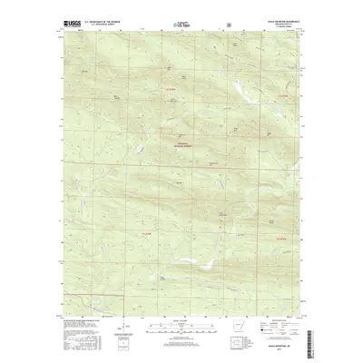
2017 Map of Eagle Mountain
USGS Topo · Published 2017About this map
The Ouachita National Forest dominates this section of Polk County, where the southern Ozark-Ouachita landscape forms a succession of high ridges and narrow creek valleys. The Cossatot River winds through the central terrain, fed by numerous tributaries including Brushy Cr and Holly Br. This topographic study reveals a landscape defined by its prominent peaks, from the northern summits of Bee Mtn and Boar Tusk Mtn to the southern elevations of West Hanna Mtn and the Hanna Range.
Find a feature on this map
57 named features on this map. Tap any name to fly to it.
Don’t see what you’re looking for? This feature index may not catch every label — zoom into the map to look around manually.
Map Details
Editions of this 2017 Eagle Mountain Map
This is the sole edition of this map. No revisions or reprints were ever made.
Other maps of this area

1890 · Poteau Mountain
USGS Topo · 1:125,000

1899 · Poteau Mountain
USGS Topo · 1:125,000

1913 · De Queen
USGS Topo · 1:125,000

1950 · Mcalester
USGS Topo · 1:250,000
1958 · Board Camp
USGS Topo · 1:24,000

1958 · Mena
USGS Topo · 1:62,500

1958 · Potter
USGS Topo · 1:62,500

1958 · Mena
USGS Topo · 1:24,000
1958 · Potter
USGS Topo · 1:24,000

1959 · Umpire
USGS Topo · 1:62,500