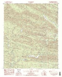
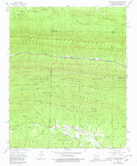
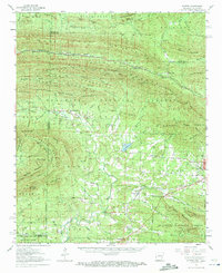
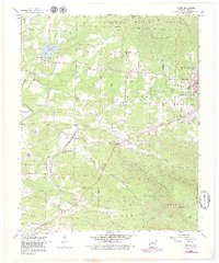
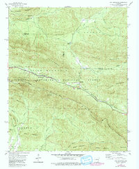
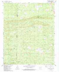
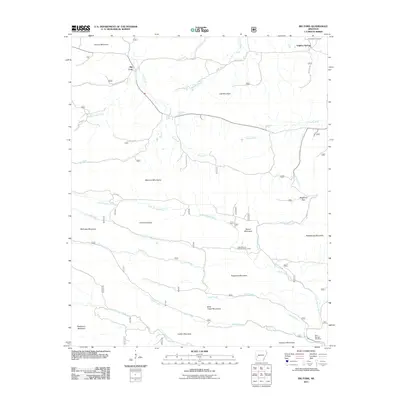
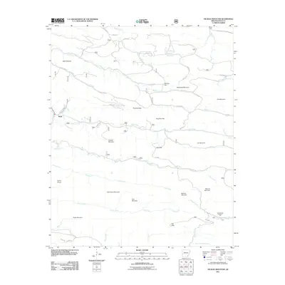
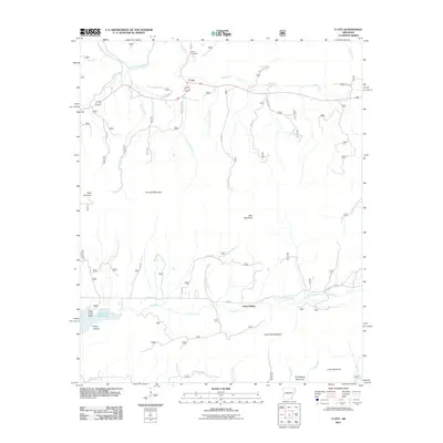
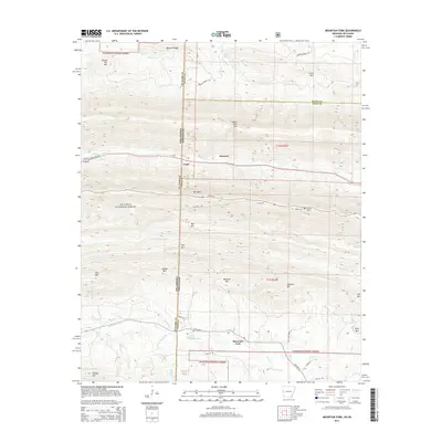
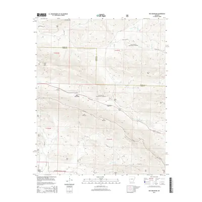
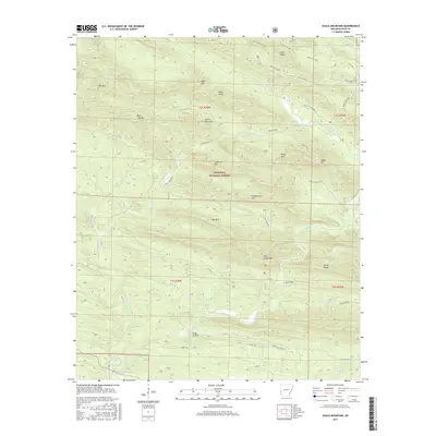
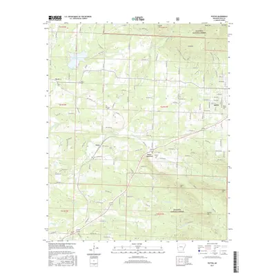
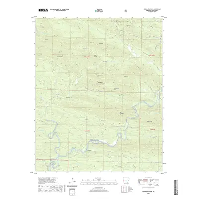
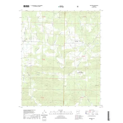
1986 Map of Eagle Mountain
USGS Topo · Published 1986About this map
The Cossatot River cuts a winding path through this portion of the Ouachita National Forest in Polk County, Arkansas. This mid-1980s terrain is defined by the high ridges of the Hanna Range and the Caney Creek State Wildlife Management Area. Numerous family-named peaks and landmarks provide a look at the local topography, including Bee Mountain, Baker Mountain, and the prominent Eagle Mountain.
Find a feature on this map
32 named features on this map. Tap any name to fly to it.
Don’t see what you’re looking for? This feature index may not catch every label — zoom into the map to look around manually.
Map Details
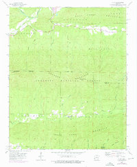
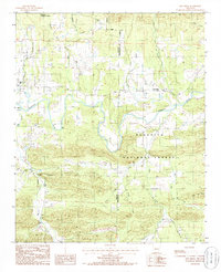
Editions of this 1986 Eagle Mountain Map
2 editions found
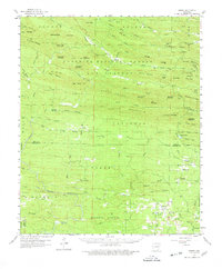
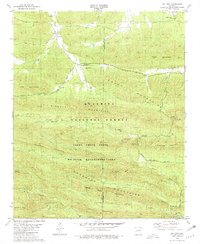
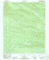
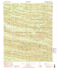
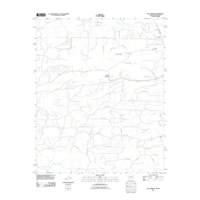
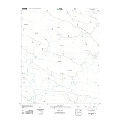
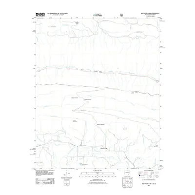
Historical Maps of Polk County Through Time
56 maps found
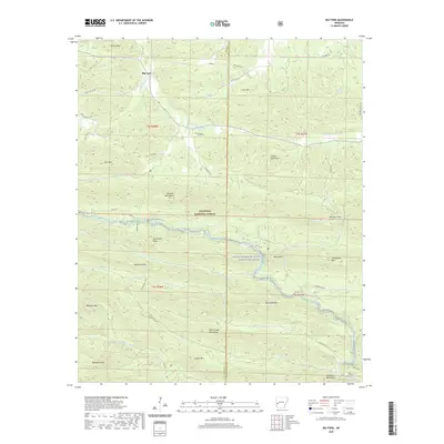
1958 Mountain Fork
Polk County, AR
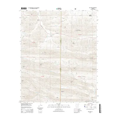
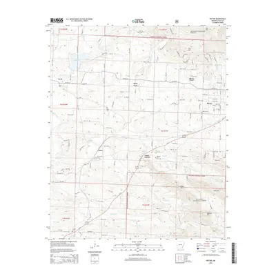
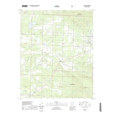
1958 Potter
Polk County, AR
1958 Potter
Polk County, AR
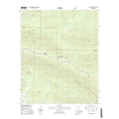
1958 Rich Mountain
Polk County, AR
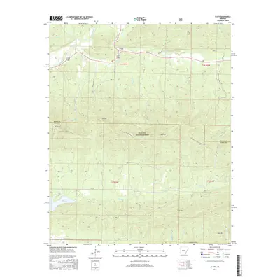
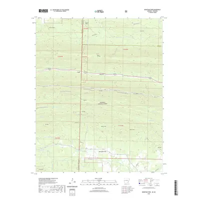
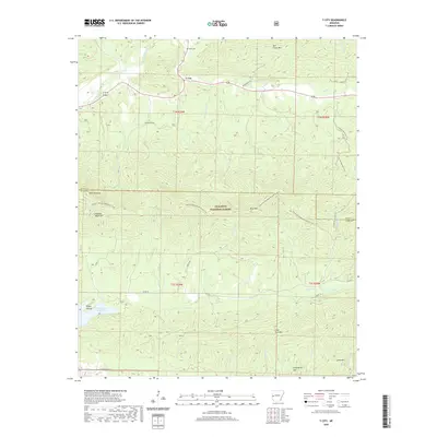
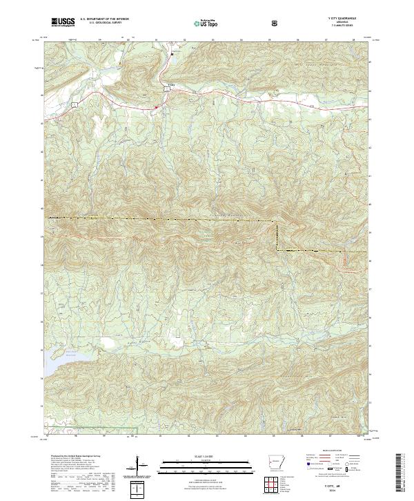
1958 Y City
Polk County, AR
1959 Umpire
Polk County, AR
1980 Big Fork
Polk County, AR
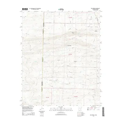
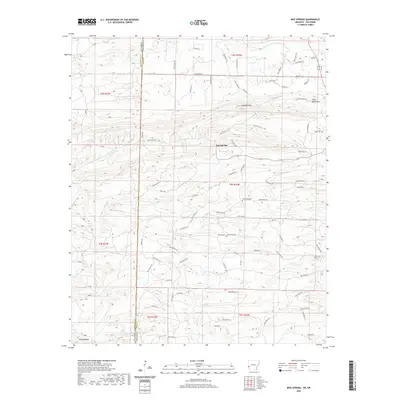
1985 Bog Springs
Polk County, AR
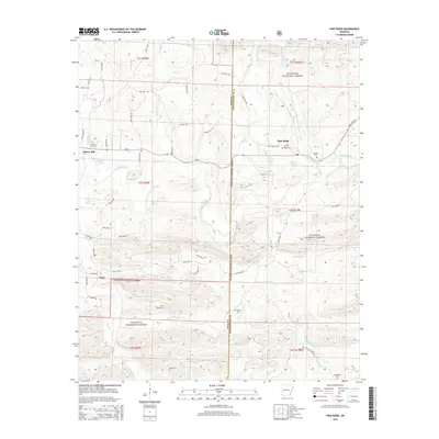
1985 Pine Ridge
Polk County, AR
1986 Eagle Mountain
Polk County, AR
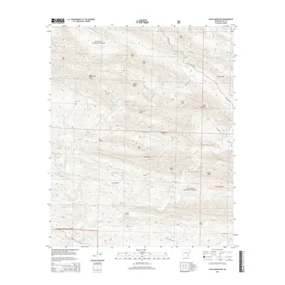
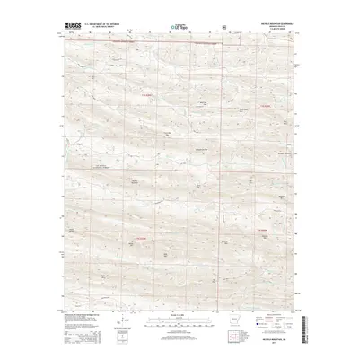
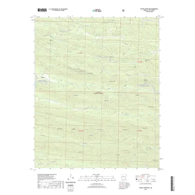
1986 Nichols Mountain
Polk County, AR
2011 Big Fork
Polk County, AR
2011 Bog Springs
Polk County, AR
2011 Eagle Mountain
Polk County, AR
2011 Mountain Fork
Polk County, AR
2011 Nichols Mountain
Polk County, AR
2011 Pine Ridge
Polk County, AR
2011 Potter
Polk County, AR
2011 Rich Mountain
Polk County, AR
2011 Y City
Polk County, AR
2014 Big Fork
Polk County, AR
2014 Bog Springs
Polk County, AR
2014 Eagle Mountain
Polk County, AR
2014 Mountain Fork
Polk County, AR
2014 Nichols Mountain
Polk County, AR
2014 Pine Ridge
Polk County, AR
2014 Potter
Polk County, AR
2014 Rich Mountain
Polk County, AR
2014 Y City
Polk County, AR
2017 Big Fork
Polk County, AR
2017 Bog Springs
Polk County, AR
2017 Eagle Mountain
Polk County, AR
2017 Mountain Fork
Polk County, AR
2017 Nichols Mountain
Polk County, AR
2017 Pine Ridge
Polk County, AR
2017 Potter
Polk County, AR
2017 Rich Mountain
Polk County, AR
2017 Y City
Polk County, AR
2020 Big Fork
Polk County, AR
2020 Bog Springs
Polk County, AR
2020 Eagle Mountain
Polk County, AR
2020 Mountain Fork
Polk County, AR
2020 Nichols Mountain
Polk County, AR
2020 Pine Ridge
Polk County, AR
2020 Potter
Polk County, AR
2020 Rich Mountain
Polk County, AR
2020 Y City
Polk County, AR
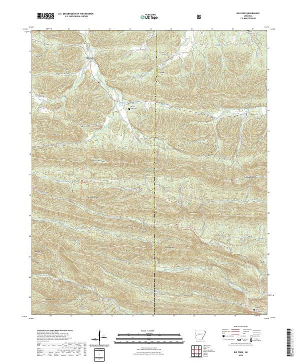
2024 Big Fork
Polk County, AR
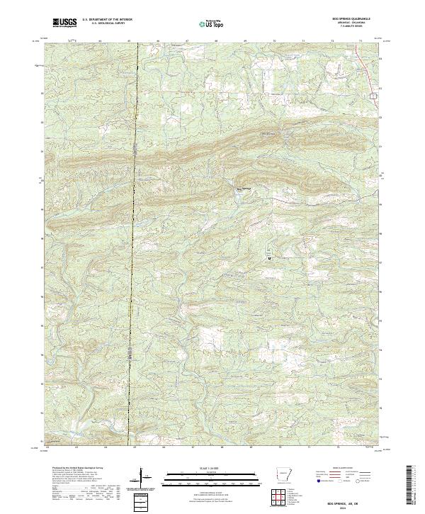
2024 Bog Springs
Polk County, AR
2024 Eagle Mountain
Polk County, AR
2024 Mountain Fork
Polk County, AR
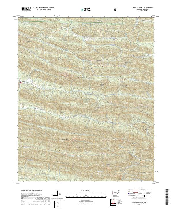
2024 Nichols Mountain
Polk County, AR
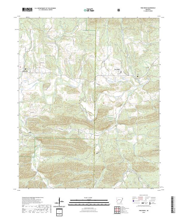
2024 Pine Ridge
Polk County, AR
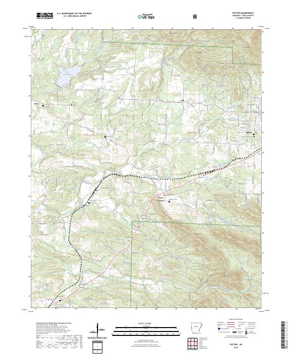
2024 Potter
Polk County, AR
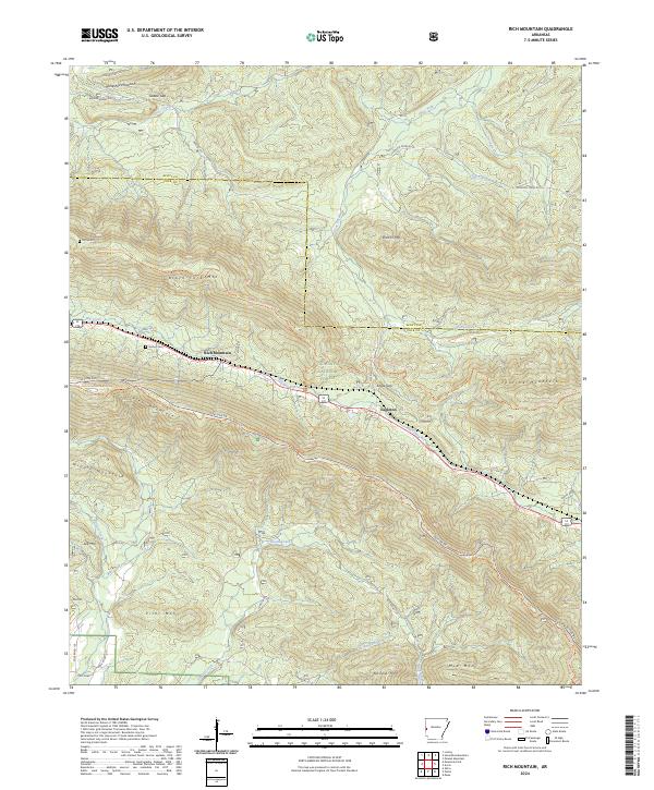
2024 Rich Mountain
Polk County, AR
2024 Y City
Polk County, AR