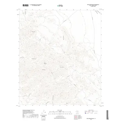
2019 Map of Eagle Mountains NE
USGS Topo · Published 2019About this map
Eagle Peak and Panther Peak dominate this high-desert landscape in Hudspeth County, where the Eagle Mountains rise sharply above the surrounding draws and canyons. This 2019 survey documents a network of vital water sources in an otherwise arid region, including Eagle Spring, Carpenter Spring, and Cypress Spring. These springs have historically served as critical waypoints for travel and ranching across the Trans-Pecos.
Find a feature on this map
22 named features on this map. Tap any name to fly to it.
Don’t see what you’re looking for? This feature index may not catch every label — zoom into the map to look around manually.
Map Details
Editions of this 2019 Eagle Mountains NE Map
This is the sole edition of this map. No revisions or reprints were ever made.
Other maps of this area

1892 · Chispa
USGS Topo · 1:125,000

1895 · Chispa
USGS Topo · 1:125,000

1895 · Sierra Blanca
USGS Topo · 1:125,000

1897 · Eagle Mountain
USGS Topo · 1:125,000

1897 · Chispa
USGS Topo · 1:125,000

1906 · Van Horn
USGS Topo · 1:125,000

1916 · Eagle Mountain
USGS Topo · 1:125,000

1954 · Van Horn
USGS Topo · 1:250,000

1958 · Van Horn
USGS Topo · 1:250,000

1959 · Marfa
USGS Topo · 1:250,000