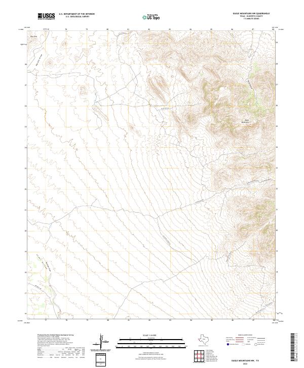
2022 Map of Eagle Mountains NW
USGS Topo · Published 2022About this map
The Eagle Mountains dominate the eastern portion of this West Texas landscape, where steep canyons and high desert ridges define the topography of Hudspeth County. The map details a network of ranching and mining access routes that thread through the difficult terrain, including Black Mtn Rd and the Black Hills Mine Rd, which suggests the area's history of mineral exploration and land management.
Find a feature on this map
23 named features on this map. Tap any name to fly to it.
Don’t see what you’re looking for? This feature index may not catch every label — zoom into the map to look around manually.
Map Details
Editions of this 2022 Eagle Mountains NW Map
This is the sole edition of this map. No revisions or reprints were ever made.
Other maps of this area

1895 · Sierra Blanca
USGS Topo · 1:125,000

1897 · Eagle Mountain
USGS Topo · 1:125,000

1916 · Eagle Mountain
USGS Topo · 1:125,000

1954 · Van Horn
USGS Topo · 1:250,000

1958 · Van Horn
USGS Topo · 1:250,000

1959 · Marfa
USGS Topo · 1:250,000
1963 · Grayton Lake
USGS Topo · 1:24,000

1964 · Devil Ridge
USGS Topo · 1:24,000
1964 · Allamoore
USGS Topo · 1:24,000

1965 · Marfa
USGS Topo · 1:250,000