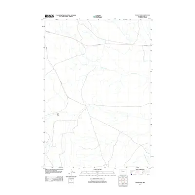
2012 Map of Eagle Pass
USGS Topo · Published 2012About this map
Coal Mine Gulch anchors the western side of this Park County landscape, a name that points to the early mining activity that once marked this high prairie. The terrain is defined by the intermittent drainage of N Fork Dry Cr and Dry Cr, showcasing a classic Wyoming drainage pattern where seasonal water shaped the land's utility for ranching and extraction. Roads like Yu Bench Rd and 31K Rd provide the primary access through this open country, following the natural contours of the benchlands. This 2012 survey by the U.S. Geological Survey captures a space where the industrial history of the gulch and the functional routes of modern transport coexist across the arid terrain.
Find a feature on this map
5 named features on this map. Tap any name to fly to it.
Don’t see what you’re looking for? This feature index may not catch every label — zoom into the map to look around manually.
Map Details
Editions of this 2012 Eagle Pass Map
This is the sole edition of this map. No revisions or reprints were ever made.
Other maps of this area

1911 · Oregon Basin
USGS Topo · 1:62,500

1913 · Oregon Basin
USGS Topo · 1:62,500

1951 · Y U Bench NW
USGS Topo · 1:24,000

1951 · Sheets Flat
USGS Topo · 1:24,000

1955 · Cody
USGS Topo · 1:250,000

1958 · Cody
USGS Topo · 1:250,000

1962 · Cody
USGS Topo · 1:250,000

1966 · Stone Barn Camp
USGS Topo · 1:24,000

1966 · Corbett Dam
USGS Topo · 1:24,000

1966 · Gilmore Hill
USGS Topo · 1:24,000