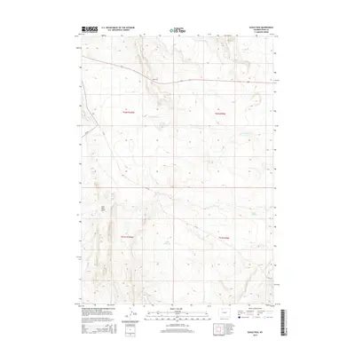
2015 Map of Eagle Pass
USGS Topo · Published 2015About this map
Eagle Pass serves as a prominent high point in this corner of Park County, where the high-plains geography is defined by deep drainages and intermittent water sources. The landscape is marked by the presence of Coal Mine Gulch in the southwest, indicating the area's geological and potential industrial history. Water management is evident through the inclusion of Wiley Reservoir, which captures runoff from the surrounding hills. This survey illustrates the transition from high ridgelines down to the more level terrain of Oregon Coulee. Drainage patterns are clearly delineated, with the N Fork Dry Cr and Dry Cr moving eastward across the townships. Low-density infrastructure is represented by a handful of county roads such as CR-3fk and CR-3ju, providing access through this sparsely settled ranching and resource territory.
Find a feature on this map
12 named features on this map. Tap any name to fly to it.
Don’t see what you’re looking for? This feature index may not catch every label — zoom into the map to look around manually.
Map Details
Editions of this 2015 Eagle Pass Map
This is the sole edition of this map. No revisions or reprints were ever made.
Other maps of this area

1911 · Oregon Basin
USGS Topo · 1:62,500

1913 · Oregon Basin
USGS Topo · 1:62,500

1951 · Y U Bench NW
USGS Topo · 1:24,000

1951 · Sheets Flat
USGS Topo · 1:24,000

1955 · Cody
USGS Topo · 1:250,000

1958 · Cody
USGS Topo · 1:250,000

1962 · Cody
USGS Topo · 1:250,000

1966 · Stone Barn Camp
USGS Topo · 1:24,000

1966 · Corbett Dam
USGS Topo · 1:24,000

1966 · Gilmore Hill
USGS Topo · 1:24,000