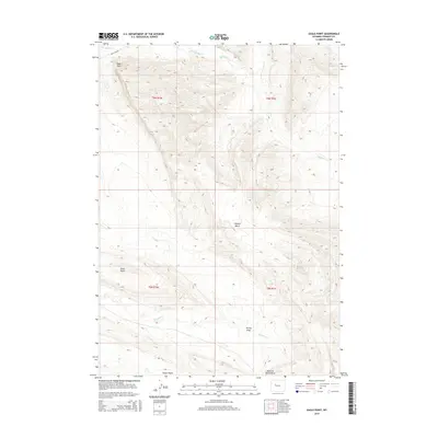
2015 Map of Eagle Point
USGS Topo · Published 2015About this map
Eagle Point rises as a prominent landmark in this high-desert portion of Fremont County, overlooking a network of ephemeral drainages and ridgelines. The landscape is defined by its dramatic verticality, from the broad elevation of Shotgun Bench to the depths of Teapot Wash and Hurley Draw. Human presence is spare, marked primarily by the winding path of Mail Camp Rd in the northwestern corner, a route tracing the historical movement across these basins. The drainage pattern here is complex, with Fivemile Cr and Muddy Cr carving paths through the terrain, while the curiously named McKey Grave Cr suggests the localized history of early travelers or settlers. This survey provides a clear view of the public land survey system divisions between T6N and T5N, framing features like Little Dome within their precise township and range coordinates.
Find a feature on this map
15 named features on this map. Tap any name to fly to it.
Don’t see what you’re looking for? This feature index may not catch every label — zoom into the map to look around manually.
Map Details
Editions of this 2015 Eagle Point Map
This is the sole edition of this map. No revisions or reprints were ever made.
Other maps of this area

1950 · Pavillion Butte
USGS Topo · 1:24,000

1950 · Shotgun Butte
USGS Topo · 1:24,000

1951 · Lookout Butte SW
USGS Topo · 1:24,000

1951 · Eagle Point
USGS Topo · 1:24,000

1951 · Lookout Butte
USGS Topo · 1:24,000

1951 · Maverick Spring
USGS Topo · 1:24,000

1952 · Antelope Ridge
USGS Topo · 1:24,000

1952 · Sheep Ridge
USGS Topo · 1:24,000

1952 · Bargee
USGS Topo · 1:24,000

1955 · Thermopolis
USGS Topo · 1:250,000