
1952 Map of Bargee
USGS Topo · Published 1954About this map
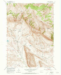
The Wind River Indian Reservation landscape is defined here by the intersection of early ranching life and historical transportation routes in Wyoming. The Holland Place (Old Stage Station) along Holland Creek serves as a reminder of the era's stagecoach travel, situated near the winding Mail Camp Road. This 1952 field-checked survey highlights the community infrastructure of the period, including the Bargee School and the Mail Camp Ranger Station. The drainage systems of Bargee Creek and Warm Springs Creek sustain local operations like the Bargee Ranch and Bradford Ranch, while the surrounding terrain is marked by Antelope Ridge and Sheep Ridge. These features illustrate a mid-century period where remote ranching and government administration coexisted within the high country geography of Merritt Pass and the Creek Mountains.
Find a feature on this map
24 named features on this map. Tap any name to fly to it.
Don’t see what you’re looking for? This feature index may not catch every label — zoom into the map to look around manually.
Map Details
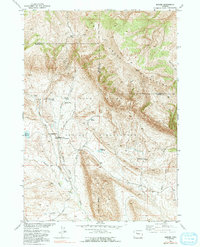
Editions of this 1952 Bargee Map
3 editions found
Other maps of this area

1950 · Shotgun Butte
USGS Topo · 1:24,000

1951 · Eagle Point
USGS Topo · 1:24,000

1951 · Maverick Spring
USGS Topo · 1:24,000

1952 · Antelope Ridge
USGS Topo · 1:24,000

1952 · Sheep Ridge
USGS Topo · 1:24,000

1955 · Thermopolis
USGS Topo · 1:250,000

1958 · Thermopolis
USGS Topo · 1:250,000

1962 · Thermopolis
USGS Topo · 1:250,000
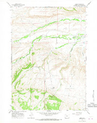
1965 · Embar
USGS Topo · 1:24,000
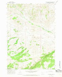
1965 · Eagle Nest Ranch
USGS Topo · 1:24,000