
1952 Map of Antelope Ridge
USGS Topo · Published 1953About this map
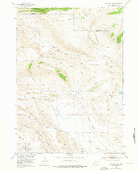
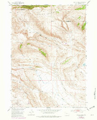
The Wind River Indian Reservation dominates this mid-century topographic study, which captures the complex geological and industrial character of Fremont County. To the north, the Owl Creek Mountains descend into the striking topography of Red Basin and Antelope Basin. The map documents a rugged landscape defined by seasonal watercourses like Dry Muddy Creek and the deep relief of Antelope Ridge.
Find a feature on this map
17 named features on this map. Tap any name to fly to it.
Don’t see what you’re looking for? This feature index may not catch every label — zoom into the map to look around manually.
Map Details
Editions of this 1952 Antelope Ridge Map
3 editions found
Other maps of this area

1904 · Kirwin
USGS Topo · 1:125,000

1906 · Kirwin
USGS Topo · 1:125,000

1951 · Eagle Point
USGS Topo · 1:24,000

1951 · Maverick Spring
USGS Topo · 1:24,000

1952 · Crowheart NE
USGS Topo · 1:24,000

1952 · Bargee
USGS Topo · 1:24,000

1955 · Thermopolis
USGS Topo · 1:250,000

1957 · Crowheart NE
USGS Topo · 1:24,000

1958 · Thermopolis
USGS Topo · 1:250,000

1962 · Thermopolis
USGS Topo · 1:250,000