
Loading...
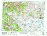
Loading map...1962 Map of Thermopolis
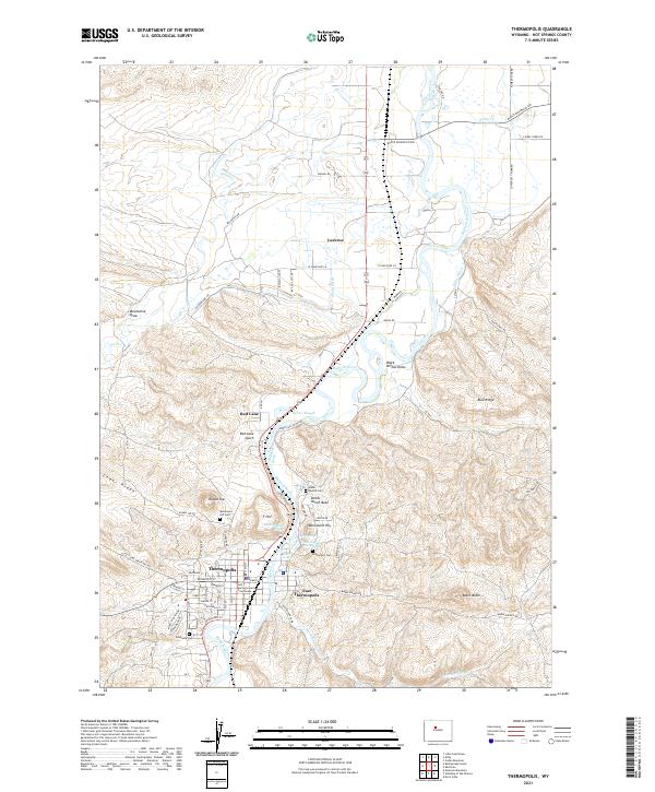
USGS Topo · Published 1962About this map
Thermopolis sits at the northern end of the Wind River Canyon where the Wind River transitions into the Bighorn River, serving as a central hub for this mid-century Wyoming landscape. The map captures a vast expanse of the Wind River Indian Reservation, showcasing established communities like Ft Washakie and Ethete. To the south, the Riverton Reclamation Withdrawal Area indicates the region's managed water network, anchored by Ocean Lake and the Boysen Reservoir.
Find a feature on this map
120 named features on this map. Tap any name to fly to it.
Don’t see what you’re looking for? This feature index may not catch every label — zoom into the map to look around manually.
Map Details
Date Portrayed1962
Date Published1962
PublisherU.S. Geological Survey
Map TypeTopographic
Scale1:250,000
Physical Dimensions27.8 x 22 inches
Editions of this 1962 Thermopolis Map
This is the sole edition of this map. No revisions or reprints were ever made.
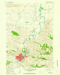
Historical Maps of Riverton Through Time
6 maps found

Featured Locations
Source Details
SourceU.S. Geological Survey
CopyrightPublic Domain