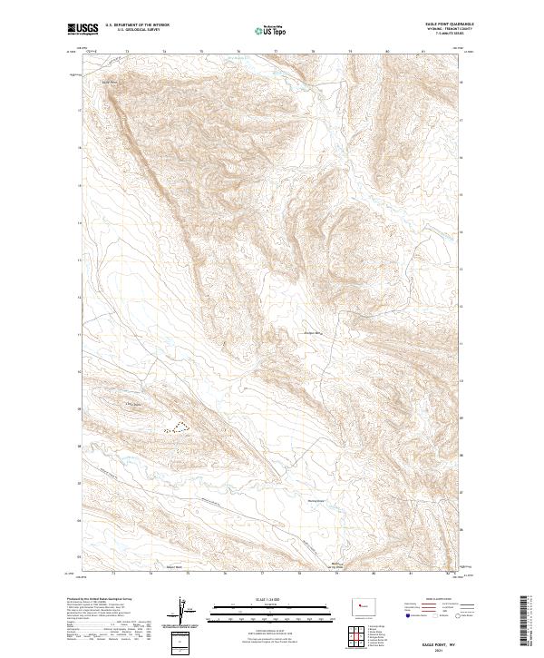
2021 Map of Eagle Point
USGS Topo · Published 2021About this map
Eagle Point stands as a prominent landmark in this arid portion of Fremont County, anchoring a landscape defined by intricate drainage networks and high desert landforms. The topography is marked by significant features like Shotgun Bench and the isolated rise of Little Dome, which suggest a terrain shaped by long-term erosion and sedimentary shifting. Water, though likely intermittent given the naming of Dry Muddy Cr, flows toward larger channels such as Fivemile Cr and Muddy Cr. The passage of human activity is traced through long-established routes like Mail Camp Rd and Maverick Spring Rd, which navigate the draws and washes of the basin. These roads likely served ranching interests and early resource exploration in the region, connecting remote outposts through the broken ground of Teapot Wash and Hurley Draw.
Find a feature on this map
15 named features on this map. Tap any name to fly to it.
Don’t see what you’re looking for? This feature index may not catch every label — zoom into the map to look around manually.
Map Details
Editions of this 2021 Eagle Point Map
This is the sole edition of this map. No revisions or reprints were ever made.
Other maps of this area

1950 · Pavillion Butte
USGS Topo · 1:24,000

1950 · Shotgun Butte
USGS Topo · 1:24,000

1951 · Lookout Butte SW
USGS Topo · 1:24,000

1951 · Eagle Point
USGS Topo · 1:24,000

1951 · Lookout Butte
USGS Topo · 1:24,000

1951 · Maverick Spring
USGS Topo · 1:24,000

1952 · Antelope Ridge
USGS Topo · 1:24,000

1952 · Sheep Ridge
USGS Topo · 1:24,000

1952 · Bargee
USGS Topo · 1:24,000

1955 · Thermopolis
USGS Topo · 1:250,000