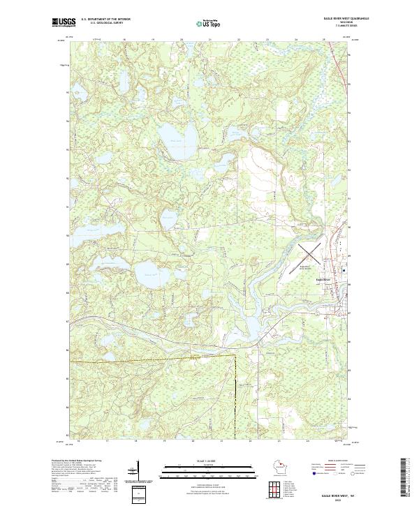
2022 Map of Eagle River West
USGS Topo · Published 2022About this map
Eagle River serves as the primary hub of this glaciated landscape in Vilas County, where the Wisconsin River meanders through a dense network of kettle lakes and wetlands. The map details the transition from the city's concentrated street grid, including N Railroad St, to the sprawling recreational and residential areas surrounding Boot Lake and Rice Lake. The prevalence of game trails, such as McLeod Lake Game Trl and Katie Lake Game Trl, indicates a region deeply tied to its natural environment and traditional land use.
Find a feature on this map
108 named features on this map. Tap any name to fly to it.
Don’t see what you’re looking for? This feature index may not catch every label — zoom into the map to look around manually.
Map Details
Editions of this 2022 Eagle River West Map
This is the sole edition of this map. No revisions or reprints were ever made.
Other maps of this area

1928 · Three Lakes
USGS Topo · 1:48,000

1930 · Robbins
USGS Topo · 1:48,000

1938 · Phelps
USGS Topo · 1:48,000

1938 · Three Lakes
USGS Topo · 1:48,000

1938 · Robbins
USGS Topo · 1:48,000

1945 · Three Lakes
USGS Topo · 1:48,000

1945 · Robbins
USGS Topo · 1:48,000

1946 · Star Lake
USGS Topo · 1:48,000

1950 · Phelps
USGS Topo · 1:48,000

1950 · Star Lake
USGS Topo · 1:48,000