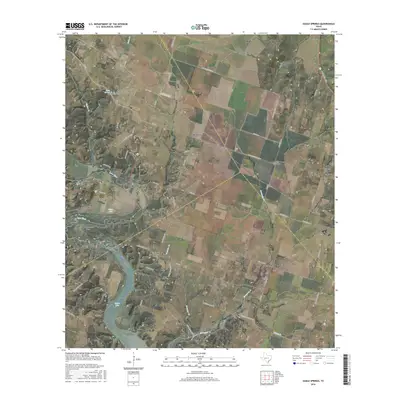
2016 Map of Eagle Springs
USGS Topo · Published 2016About this map
Whitson sits at the intersection of rural routes where the borders of Coryell, McLennan, and Bell counties converge. This Central Texas landscape is defined by the winding course of the Leon River, which creates the prominent Horseshoe Bend before widening into the northern reaches of Belton Lake. The area's settlement history is etched into the terrain through a high density of family and community burial grounds, including the Eagle Springs Cem, Station Creek Cem, and Mount Zion Cem. Small rural clusters like Meador Grove and Stampede are connected by a network of farm-to-market roads and county lanes such as Mother Neff Pkwy. The presence of the Tick Hill Airfield and numerous small creek systems like Onion Cr and Stampede Cr illustrate a landscape used for both local agriculture and regional transportation in the early 21st century.
Find a feature on this map
62 named features on this map. Tap any name to fly to it.
Don’t see what you’re looking for? This feature index may not catch every label — zoom into the map to look around manually.
Map Details
Editions of this 2016 Eagle Springs Map
This is the sole edition of this map. No revisions or reprints were ever made.
Other maps of this area

1892 · Temple
USGS Topo · 1:125,000

1894 · Gatesville
USGS Topo · 1:125,000

1924 · Gatesville 4-a
USGS Topo · 1:48,000

1924 · Temple 2-C
USGS Topo · 1:48,000

1924 · Temple 3-B
USGS Topo · 1:48,000

1930 · Killeen
USGS Topo · 1:62,500

1931 · Mc Gregor
USGS Topo · 1:62,500

1931 · Belton
USGS Topo · 1:62,500

1947 · Bland
USGS Topo · 1:24,000

1947 · Killeen
USGS Topo · 1:62,500