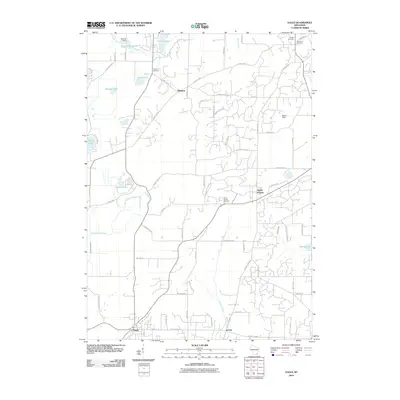
2010 Map of Eagle
USGS Topo · Published 2010About this map
Ottawa and North Prairie anchor this corner of Waukesha County, where the transition from agricultural landscapes to residential pockets is clearly defined by a network of county highways. The northern section is dominated by the Scuppernong Creek drainage, featuring Hunters Lake and the Hunters Millpond 17, regulated by the Bischel Dam. These water systems, along with Ottawa Lake and the Scuppernong River, speak to the historical importance of the area's hydrology for both early industry and local recreation.
Find a feature on this map
64 named features on this map. Tap any name to fly to it.
Don’t see what you’re looking for? This feature index may not catch every label — zoom into the map to look around manually.
Map Details
Editions of this 2010 Eagle Map
This is the sole edition of this map. No revisions or reprints were ever made.
Other maps of this area

1892 · Watertown
USGS Topo · 1:62,500

1892 · Oconomowoc
USGS Topo · 1:62,500

1892 · Whitewater
USGS Topo · 1:62,500

1892 · Eagle
USGS Topo · 1:62,500

1893 · Whitewater
USGS Topo · 1:62,500

1894 · Watertown
USGS Topo · 1:62,500

1894 · Eagle
USGS Topo · 1:62,500

1897 · Eagle
USGS Topo · 1:62,500

1903 · Whitewater
USGS Topo · 1:62,500

1906 · Eagle
USGS Topo · 1:62,500