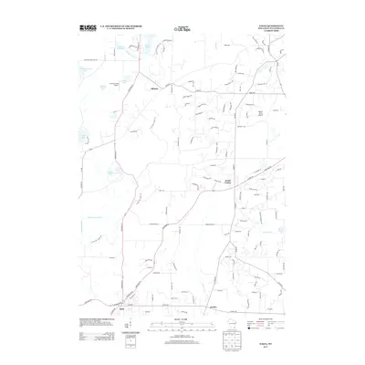
2013 Map of Eagle
USGS Topo · Published 2013About this map
North Prairie and Eagle serve as the primary residential hubs in this portion of Waukesha County, connected by a network of state roads and county highways. The landscape is defined by its glacial heritage, with residential developments like those along Moraine Hills Dr and Drumlin Dr reflecting the physical geography of the region. The Ice Age Natl Scenic Trl winds through the central corridor, passing near the small settlement of Ottawa, providing a continuous recreational link through the Kettle Moraine area. Local aviation is represented by private facilities such as Heitman Field Airport and Bartell Strip Airport. Water features are abundant, ranging from the larger Ottawa Lake and Spring Lake to the meandering Scuppernong River and Jericho Cr. These drainage patterns, including Scuppernong Cr, have historically influenced the siting of early improvements like Hunters Millpond 17.
Find a feature on this map
124 named features on this map. Tap any name to fly to it.
Don’t see what you’re looking for? This feature index may not catch every label — zoom into the map to look around manually.
Map Details
Editions of this 2013 Eagle Map
This is the sole edition of this map. No revisions or reprints were ever made.
Other maps of this area

1892 · Watertown
USGS Topo · 1:62,500

1892 · Oconomowoc
USGS Topo · 1:62,500

1892 · Whitewater
USGS Topo · 1:62,500

1892 · Eagle
USGS Topo · 1:62,500

1893 · Whitewater
USGS Topo · 1:62,500

1894 · Watertown
USGS Topo · 1:62,500

1894 · Eagle
USGS Topo · 1:62,500

1897 · Eagle
USGS Topo · 1:62,500

1903 · Whitewater
USGS Topo · 1:62,500

1906 · Eagle
USGS Topo · 1:62,500