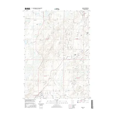
2016 Map of Eagle
USGS Topo · Published 2016About this map
Ice Age National Scenic Trail winds through the heart of this landscape, tracing the glacial legacy of southeastern Wisconsin. This 2016 survey documents the varied terrain of the Moraine Hills, where elevations fluctuate between the lowlands of Cranby Marsh and the open waters of Ottawa Lake and Hunters Lake. The settlement pattern is characterized by several small community hubs including North Prairie, Dousman, and Wales, which are connected by a network of county roads and local thoroughfares like W Waukesha Rd.
Find a feature on this map
158 named features on this map. Tap any name to fly to it.
Don’t see what you’re looking for? This feature index may not catch every label — zoom into the map to look around manually.
Map Details
Editions of this 2016 Eagle Map
This is the sole edition of this map. No revisions or reprints were ever made.
Other maps of this area

1892 · Watertown
USGS Topo · 1:62,500

1892 · Oconomowoc
USGS Topo · 1:62,500

1892 · Whitewater
USGS Topo · 1:62,500

1892 · Eagle
USGS Topo · 1:62,500

1893 · Whitewater
USGS Topo · 1:62,500

1894 · Watertown
USGS Topo · 1:62,500

1894 · Eagle
USGS Topo · 1:62,500

1897 · Eagle
USGS Topo · 1:62,500

1903 · Whitewater
USGS Topo · 1:62,500

1906 · Eagle
USGS Topo · 1:62,500