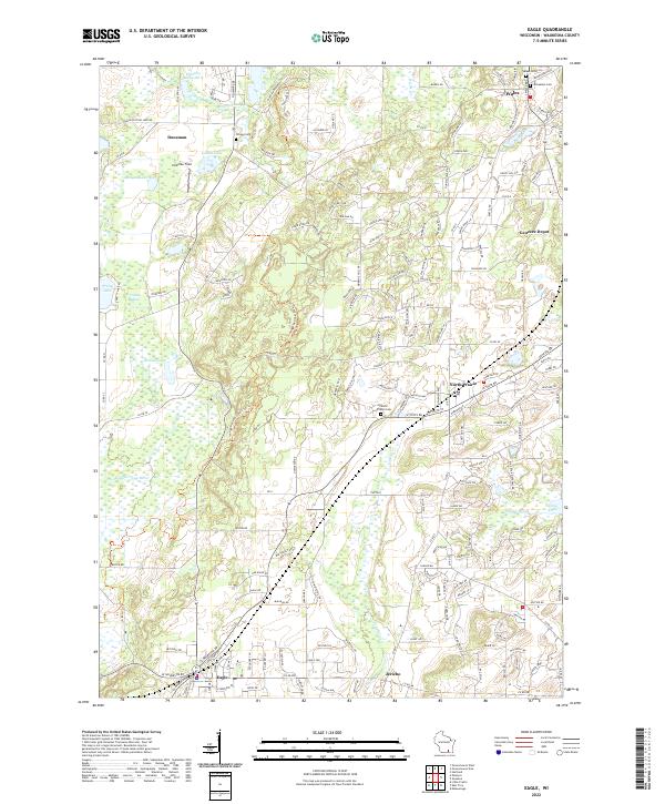
2022 Map of Eagle
USGS Topo · Published 2022About this map
The Scuppernong River and its tributaries define the glacial landscape of southwestern Waukesha County. This 2022 survey documents the established village centers of Eagle and North Prairie, alongside smaller historical settlements like Jericho and Genesee Depot. The map follows the winding path of the Ice Age National Scenic Trl, which traverses the varied terrain between Ottawa Lake and Eagle. Local heritage is well-preserved in several key burial grounds, including the Salem Cem and Jerusalem Cem near Wales, and the Ottawa Cem situated near the headwaters of Scuppernong Cr. These features, along with numerous glacial lakes such as Larkin Lake and Pretty Lake, illustrate the region's historical reliance on natural water resources and its evolution into a series of interconnected residential and recreation-focused communities.
Find a feature on this map
44 named features on this map. Tap any name to fly to it.
Don’t see what you’re looking for? This feature index may not catch every label — zoom into the map to look around manually.
Map Details
Editions of this 2022 Eagle Map
This is the sole edition of this map. No revisions or reprints were ever made.
Other maps of this area

1892 · Watertown
USGS Topo · 1:62,500

1892 · Oconomowoc
USGS Topo · 1:62,500

1892 · Whitewater
USGS Topo · 1:62,500

1892 · Eagle
USGS Topo · 1:62,500

1893 · Whitewater
USGS Topo · 1:62,500

1894 · Watertown
USGS Topo · 1:62,500

1894 · Eagle
USGS Topo · 1:62,500

1897 · Eagle
USGS Topo · 1:62,500

1903 · Whitewater
USGS Topo · 1:62,500

1906 · Eagle
USGS Topo · 1:62,500