
1927 Map of Eagles Mere
USGS Topo · Published 1927About this map
Eagles Mere serves as the central high-altitude destination in this Sullivan County landscape, known for its late-19th-century resort character evidenced by Eagles Mere Lake and Eagles Mere Park. The surrounding topography is defined by the sharp incisions of the Loyalsock Creek and its many tributaries, such as Ketchum Run and Rock Run, which carve through the Allegheny Ridge. The map reveals a transition from these wooded heights to the agricultural and milling communities in the southern valleys, where settlements like Picture Rocks and Hughesville are clustered.
Find a feature on this map
135 named features on this map. Tap any name to fly to it.
Don’t see what you’re looking for? This feature index may not catch every label — zoom into the map to look around manually.
Map Details
Editions of this 1927 Eagles Mere Map
This is the sole edition of this map. No revisions or reprints were ever made.
Other maps of this area
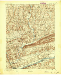
1894 · Bloomsburg
USGS Topo · 1:62,500
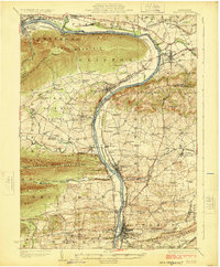
1924 · Milton
USGS Topo · 1:62,500
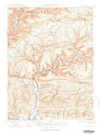
1930 · Warrensville
USGS Topo · 1:62,500

1932 · Eagle Mere
USGS Topo · 1:62,500
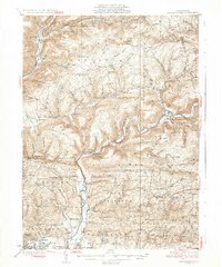
1934 · Warrensville
USGS Topo · 1:62,500
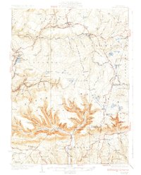
1934 · Laporte
USGS Topo · 1:62,500
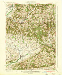
1935 · Hughesville
USGS Topo · 1:62,500
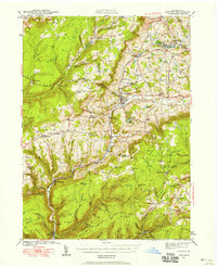
1942 · Canton
USGS Topo · 1:62,500

1943 · Monroeton
USGS Topo · 1:62,500
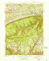
1943 · Powell
USGS Topo · 1:62,500