
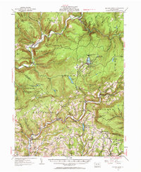
1953 Map of Eagles Mere
USGS Topo · Published 1956About this map
Eagles Mere Park and the high ridge of North Mountain define this mid-century look at the Sullivan County highlands. The landscape is marked by a mix of recreational enclaves and rural industries, with various youth retreats such as Boy Scout Camp and Girl Scout Camp established along the waters of Loyalsock Creek. The southern half of the map reveals the transition into the Muncy Creek valley, where settlements like Sonestown, Muncy Valley, and Picture Rocks serve as local hubs for the surrounding farm and forest lands.
Find a feature on this map
112 named features on this map. Tap any name to fly to it.
Don’t see what you’re looking for? This feature index may not catch every label — zoom into the map to look around manually.
Map Details
Editions of this 1953 Eagles Mere Map
3 editions found
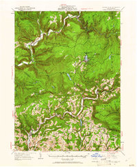
Other maps of this area

1894 · Bloomsburg
USGS Topo · 1:62,500

1924 · Milton
USGS Topo · 1:62,500

1927 · Eagles Mere
USGS Topo · 1:48,000

1930 · Warrensville
USGS Topo · 1:62,500

1932 · Eagle Mere
USGS Topo · 1:62,500

1934 · Warrensville
USGS Topo · 1:62,500

1934 · Laporte
USGS Topo · 1:62,500

1935 · Hughesville
USGS Topo · 1:62,500

1942 · Canton
USGS Topo · 1:62,500

1943 · Monroeton
USGS Topo · 1:62,500