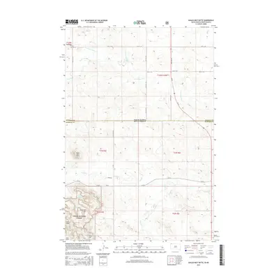
2015 Map of Eagles Nest Butte
USGS Topo · Published 2015About this map
Eagles Nest Butte rises above the high plains where the border of North Dakota and South Dakota meets the line between Bowman and Harding counties. This landscape is defined by the headwaters of the N Fork Grand River and a series of vital water sources including Cox Spring, McCumsey Spring, and Paul Spring.
Find a feature on this map
33 named features on this map. Tap any name to fly to it.
Don’t see what you’re looking for? This feature index may not catch every label — zoom into the map to look around manually.
Map Details
Editions of this 2015 Eagles Nest Butte Map
This is the sole edition of this map. No revisions or reprints were ever made.
Other maps of this area

1935 · Reva
USGS Topo · 1:125,000

1935 · Buffalo
USGS Topo · 1:125,000

1953 · Dickinson
USGS Topo · 1:250,000

1954 · Lemmon
USGS Topo · 1:250,000

1957 · Dickinson
USGS Topo · 1:250,000

1957 · Lemmon
USGS Topo · 1:250,000

1968 · Bowman SW
USGS Topo · 1:24,000

1968 · Eagles Nest Butte
USGS Topo · 1:24,000

1968 · Ludlow
USGS Topo · 1:24,000

1968 · Tepee Buttes
USGS Topo · 1:24,000