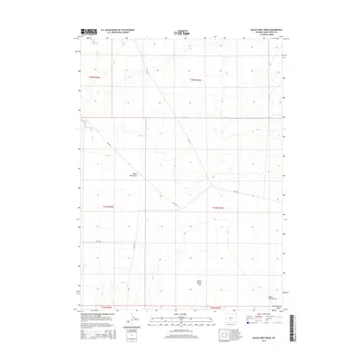
2015 Map of Eagles Nest Draw
USGS Topo · Published 2015About this map
Great Divide Basin defines the internal drainage and high-altitude desert character of this region in the mid-2010s. The landscape is characterized by its wide, flat expanses and intermittent water systems, most notably Battle Spring Flat and the drainage at Battle Spring Draw. The ephemeral path of Lost Cr cuts through the northwestern corner, illustrating the sparse hydrological network of the high Wyoming plains. Settlement is virtually absent, with the area instead serving as public land managed through a network of access routes such as Blm-3217 and Blm-3210. The topographical naming, including the central Eagles Nest Draw, reflects a territory defined by its natural features and government administration rather than urban development. This map provides a precise record of the physical geography and public land boundaries across several townships, including t24n r95w and t24n r94w.
Find a feature on this map
14 named features on this map. Tap any name to fly to it.
Don’t see what you’re looking for? This feature index may not catch every label — zoom into the map to look around manually.
Map Details
Editions of this 2015 Eagles Nest Draw Map
This is the sole edition of this map. No revisions or reprints were ever made.
Other maps of this area

1954 · Rawlins
USGS Topo · 1:250,000

1954 · Rock Springs
USGS Topo · 1:250,000

1955 · Lander
USGS Topo · 1:250,000

1955 · Casper
USGS Topo · 1:250,000

1958 · Rawlins
USGS Topo · 1:250,000

1958 · Casper
USGS Topo · 1:250,000

1958 · Lander
USGS Topo · 1:250,000

1958 · Rock Springs
USGS Topo · 1:250,000

1960 · Battle Spring
USGS Topo · 1:24,000

1960 · Lost Creek Butte
USGS Topo · 1:62,500