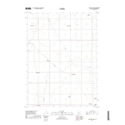
2017 Map of Eagles Nest Draw
USGS Topo · Published 2017About this map
The high desert landscape of the Great Divide Basin is captured in this 2017 survey of Sweetwater County, Wyoming. The terrain is defined by a network of seasonal drainages and vast, open topography typical of this region of the American West. The winding path of Lost Creek represents one of the primary hydrologic features in a land where water is a critical and scarce resource. Bureau of Land Management roads crisscross the area, providing access to this remote portion of the state where traditional township and range divisions structure the survey. The map serves as a detailed record of contemporary land management boundaries and the sparse infrastructure that supports the region's energy and grazing sectors.
Find a feature on this map
1 named feature on this map. Tap any name to fly to it.
Don’t see what you’re looking for? This feature index may not catch every label — zoom into the map to look around manually.
Map Details
Editions of this 2017 Eagles Nest Draw Map
This is the sole edition of this map. No revisions or reprints were ever made.
Other maps of this area

1954 · Rawlins
USGS Topo · 1:250,000

1954 · Rock Springs
USGS Topo · 1:250,000

1955 · Lander
USGS Topo · 1:250,000

1955 · Casper
USGS Topo · 1:250,000

1958 · Rawlins
USGS Topo · 1:250,000

1958 · Casper
USGS Topo · 1:250,000

1958 · Lander
USGS Topo · 1:250,000

1958 · Rock Springs
USGS Topo · 1:250,000

1960 · Battle Spring
USGS Topo · 1:24,000

1960 · Lost Creek Butte
USGS Topo · 1:62,500